Coast-to-coast and Sky Tower

A coast-to-coast bike ride . . . doesn’t that sound cool? I’ll just say it was similar to the one in Queenstown, though not quite as bad, and not nearly as long; 16km, from the Tasman sea on the west coast to the Pacific on the east, through many large beautiful parks (or ‘Domains’ as they are called in Auckland), up and down, repeat. It was definitely a great way to see the sights of Auckland, including Mount Eden, a dormant volcano and the second highest point in Auckland, with great views of the city and the harbour.

(Image taken from www.aucklandcouncil.govt.nz/EN/parksfacilities/walkingtracks/Pages/coasttocoast.aspx#map)

DSC05920      DSC05940
DSC05933      DSC05932

Ryan planned a special dinner at the top of the Sky Tower for the last night of our honeymoon. How fitting that our last meal was in a revolving restaurant at the top of the city…it’s unbelievable how quickly these three months have passed!  We went up to the observation deck to see the sunset and then headed up another floor to a delicious dinner.
DSC05962      DSC05973

Rangitoto volcanic island

Auckland is in the middle of a volcanic field, with volcanoes in the city and on the North Island and many more off to the east in the Waitemata Harbour. The youngest and largest volcano erupted about 600 years ago, forming Rangitoto, an island with nice views of the city and fun lava caves to explore. The cruise out through the harbour took about 30 minutes. We passed one of the multiple cruise ships docking overnight, the two shipping docks, where cargo ships can be turned around in 18 hours, and the old Bean Rock Lighthouse built in the 1870′s.
DSC05813      DSC05819      DSC05832

Once arriving, we hiked up the hardened lava trails to the summit, where we were rewarded with nice views of the harbour and city.
DSC05849      DSC05856

DSC05855

The NZ Department of Conservation implemented a program to remove all foreign animals originally brought onto Rangitoto and it is now considered a pest-free island. Vegetation has brought many birds though, including the ones we spotted below. We were a little early in the season, but by mid-spring the whole island is said to look like a big fireball from a distance due to the bright red flowering pohutukawa trees that populate the island.

Variable Oystercatcher

Oystercatcher

Tui

Tui

Chaffinch

Chaffinch

Another chaffinch

Another chaffinch

Red bla bla

Flowering pohutukawa

On the way down from the summit, we took a short detour through the lava caves, making good use of our head lamps.
DSC05882

Last day with the campervan and on to Auckland

Our last morning in the campervan began with blue skies and amazing mountain and lake views. Wouldn’t it be nice if every morning started like that? We ate whatever food was left, including Ryan’s princess gummy treats (shaped like rings, butterflies, hearts, and flowers), and finished the drive to Christchurch.
DSC05780      DSC05769
DSC05777-001

As part of the campervan return, the rental company asks customers to complete a review and survey. Due to the issues we had, the rating I gave was about average. Apparently the company is not used to ‘average’ reviews. The very nice girl helping us asked about our issues with the van and then proceeded to refund us 2 days worth of the rental. Not bad.

The flight to Auckland and bus ride to our hotel was uneventful. Ryan found an awesome restaurant for dinner, with locally sourced ingredients. We shared a beet root (very popular in Australia and New Zealand) with feta and radicchio salad to start, followed by a lamb dish for Ryan and market fish with avocado purée and bulgar for me, ending with salted caramel flan and assorted chocolates for dessert. Unfortunately, the food pics did not turn out too well, ie. most of the food was eaten by the time we remembered to take pictures. This is the fun courtyard in front of the restaurant, with potted plants, totem poles, and Christmas lights.
DSC05801

Following the tides

The hikes and sites along the west coast must be thought out and planned ahead of time; many are only accessible when the tide is low, while others only ‘put on a show’ during high tide. Though it meant driving a bit in circles, we followed the tide to pack in as much as possible. I know, big surprise.

First stop, Truman Track, an easy 30 minute hike that opened up to a beautiful rocky beach with nicely carved out cliffs and waterfalls. There were a lot of very smooth pieces of driftwood, one resembling a longhorn.
DSC05629      DSC05634
DSC05644      DSC05649
DSC05653

NZ's attempt to capture unwanted furry things

NZ’s attempt to capture unwanted furry things

Second stop, across the old Fox Creek Bridge to an even older Maori cave, which also opened up to spectacular ocean views.
DSC05686      DSC05663
DSC05668      DSC05666
DSC05673      DSC05675

Last stop on the coast was the Punakaiki (pancake rock) blowholes. While the rocks are pretty cool looking, I was slightly unimpressed by the ocean spray (or lack thereof) coming up through the blowholes.
DSC05690      DSC05717

It was then time to start on our way back across the South Island to Christchurch. The highway followed the transcontinental railroad route, through the mountains along windy, cliff-top roads. Ryan did a great job manuevering the campervan!

Glaciers galore

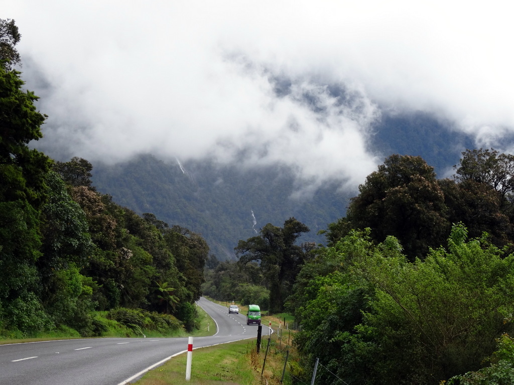
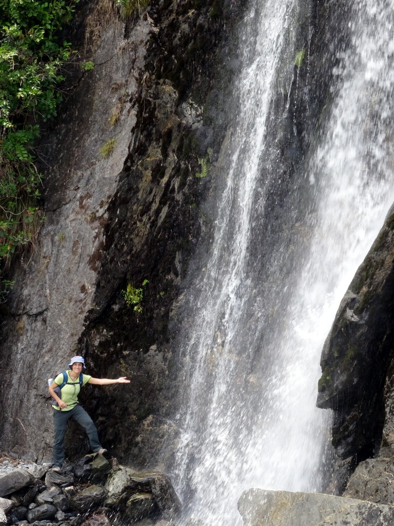
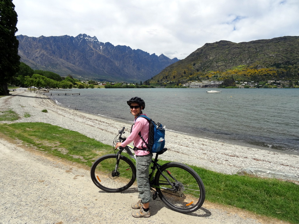
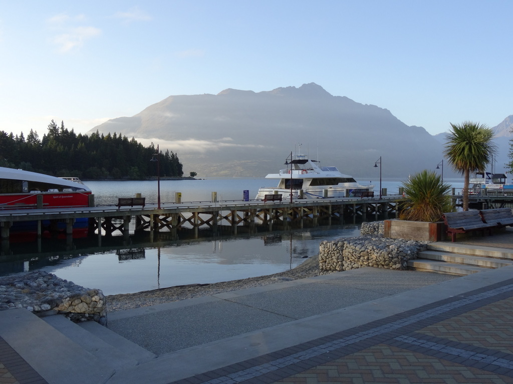
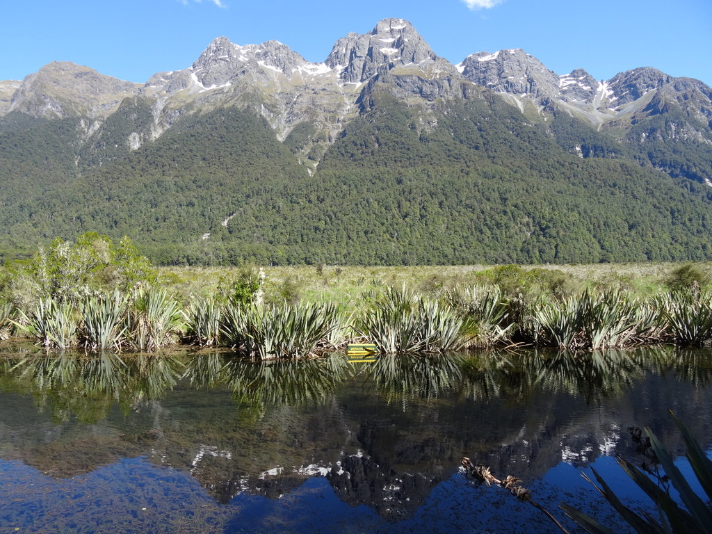
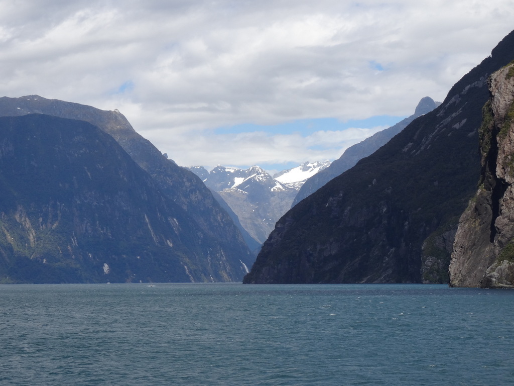
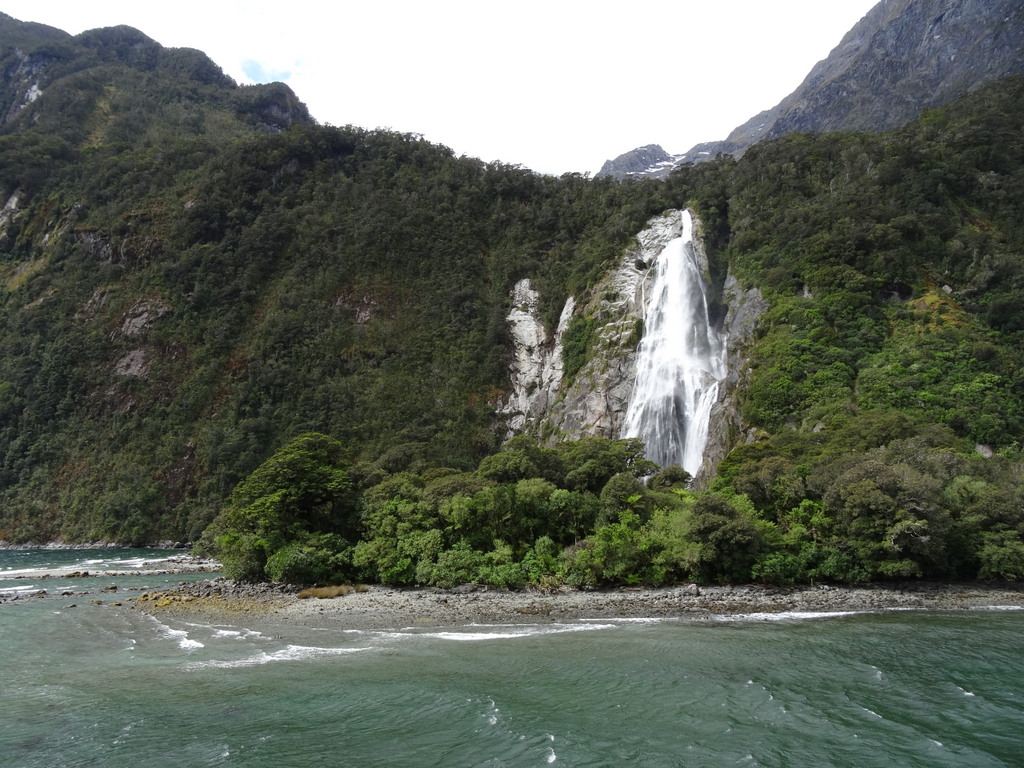
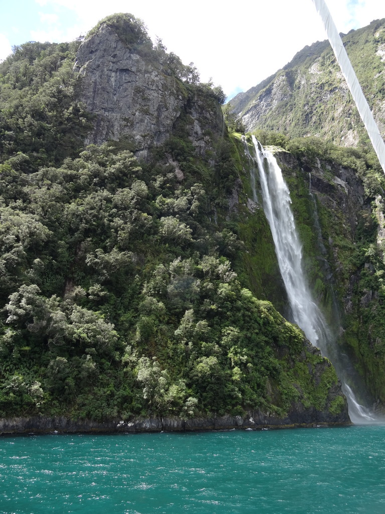
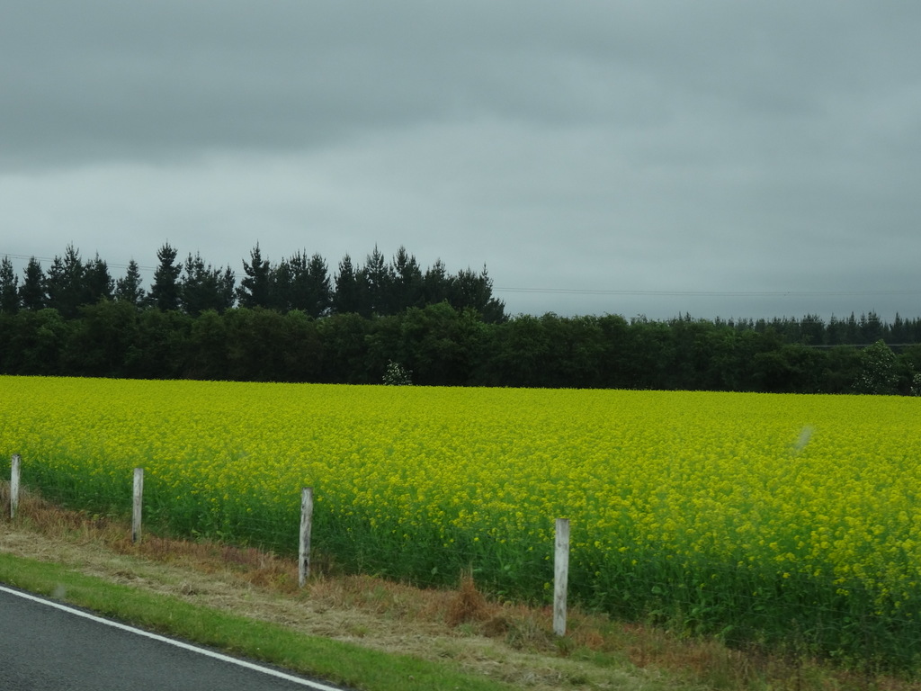
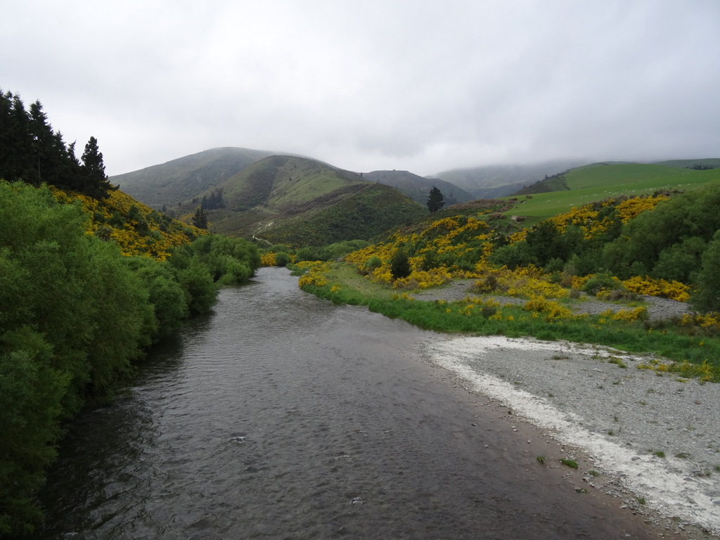
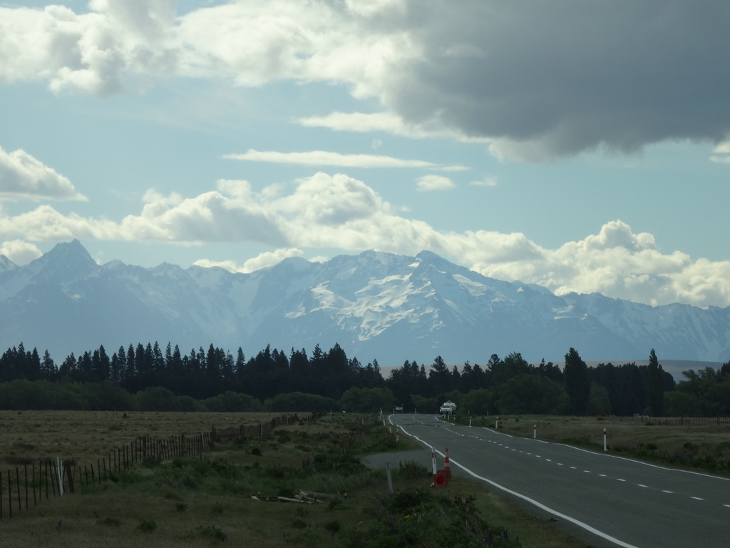
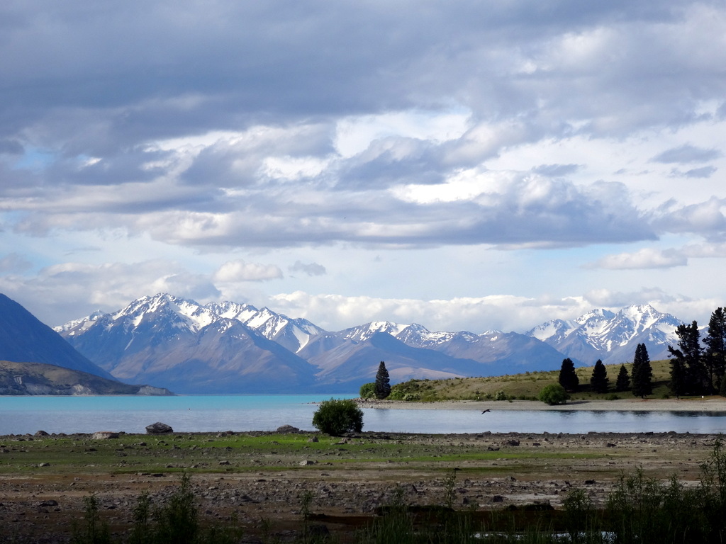
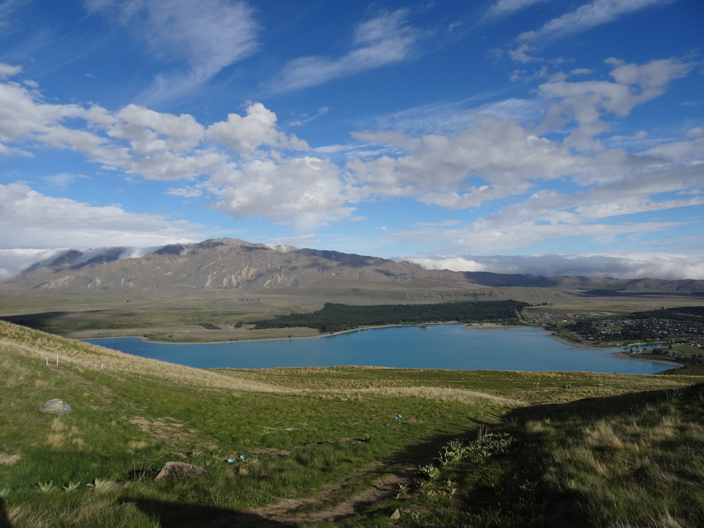
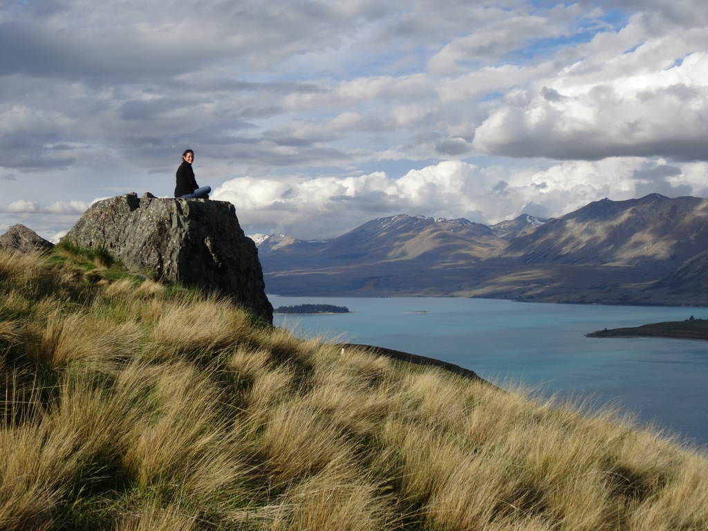
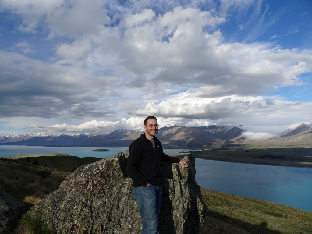
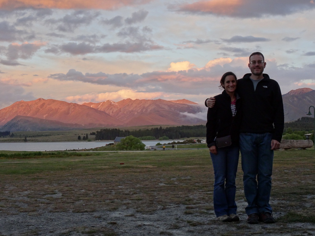
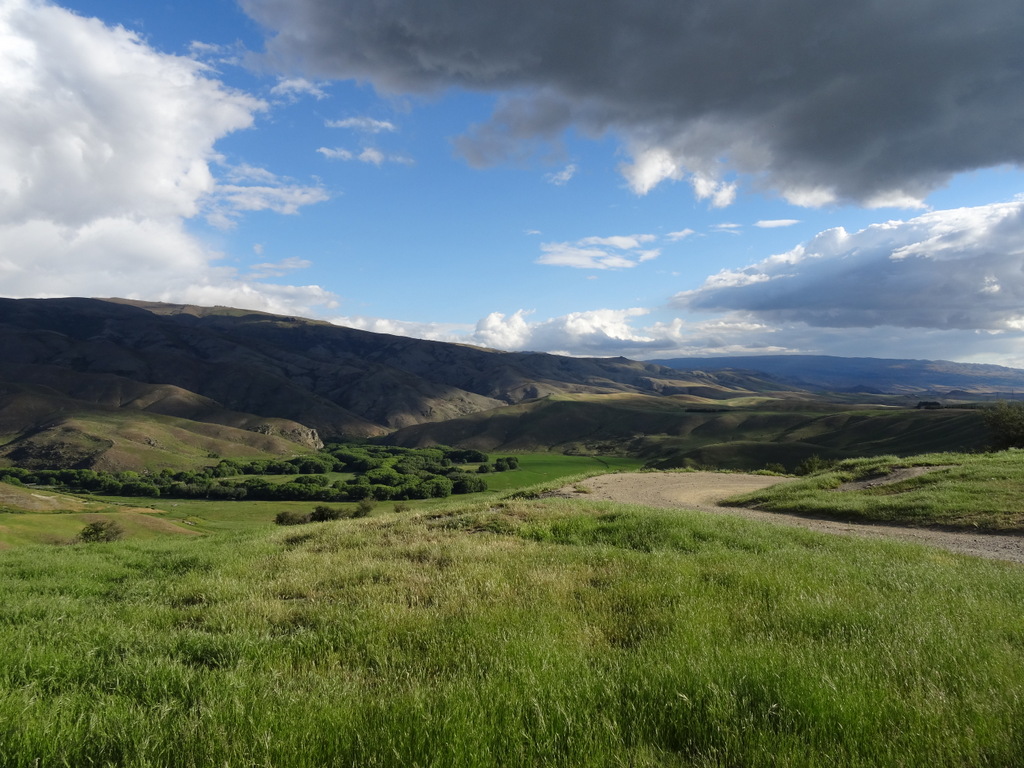
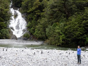
The South Island has a small number of major highways, so it’s rather difficult to get lost, though we did manage to take the ‘scenic route’ a handful of times. The drive from Queenstown to the glaciers was a windy route (east to almost the center of the island, north past a lake, west over Lake Wanaka, north-west through a national park, and then mostly north along the coast for the remainder) but all on the same highway, passing by mountains and waterfalls before opening up to the beach.
DSC05433      DSC05439 DSC05454      DSC05463
DSC05477      DSC05489
DSC05483

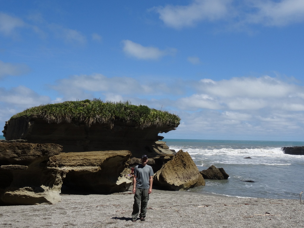
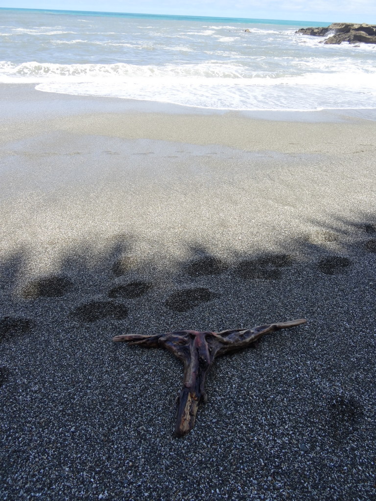
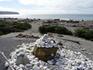
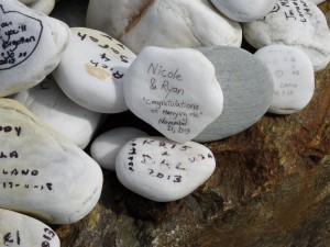
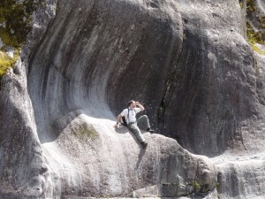
Kris and Dal told us about this spot along the coastal highway at Bruce Bay. People stop and leave notes written on white rocks along the beach. They had left one on their drive down the coast, so of course Ryan and I had to find it on our drive up. Kris’s description of a big rock that looks like a basket was pretty spot-on.
DSC05488      DSC05487

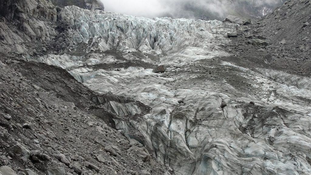
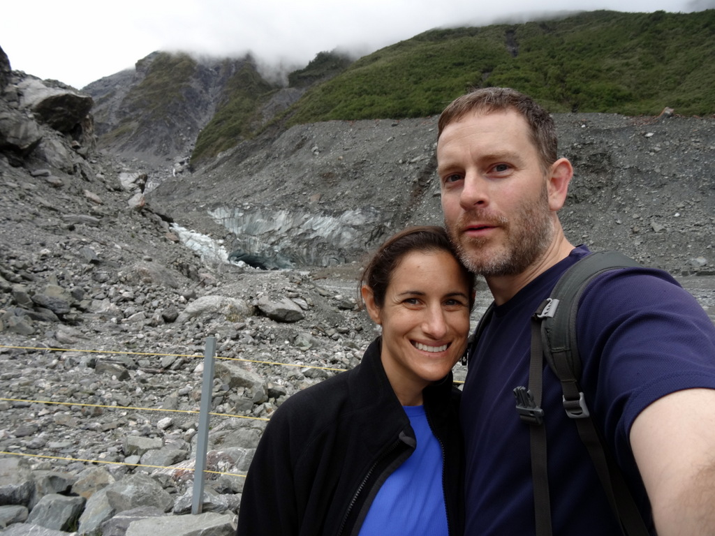
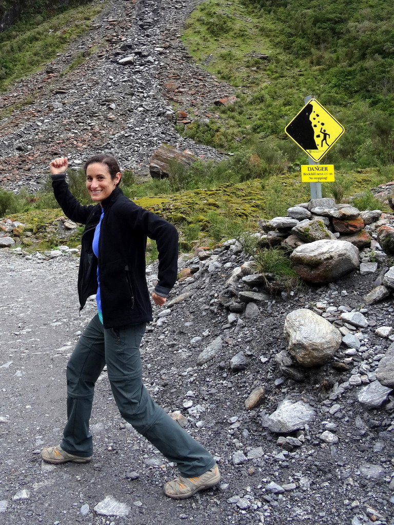
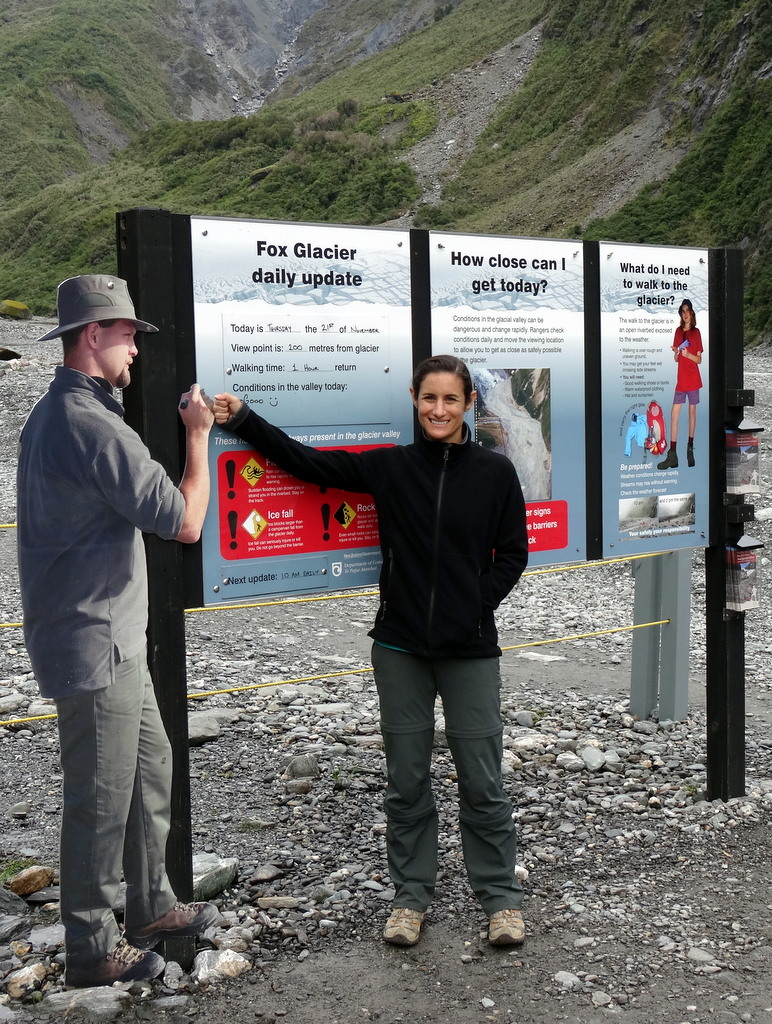
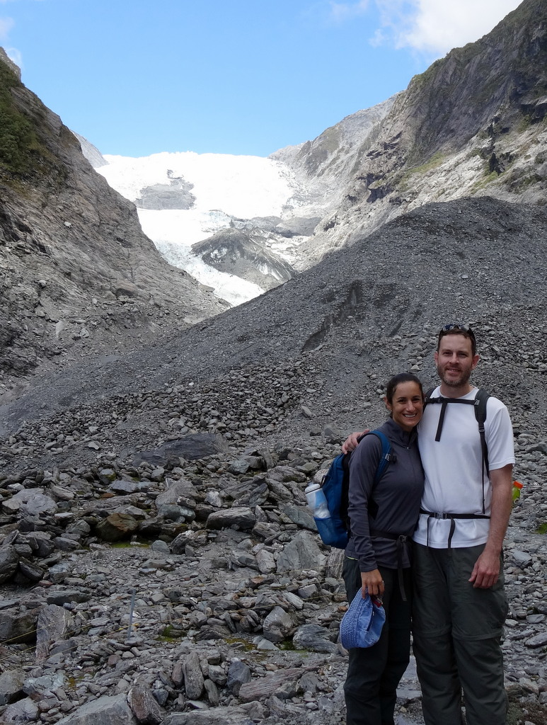
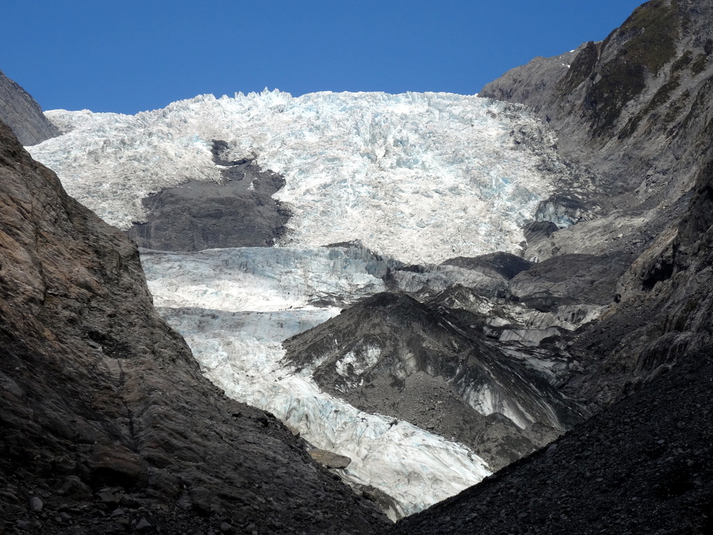
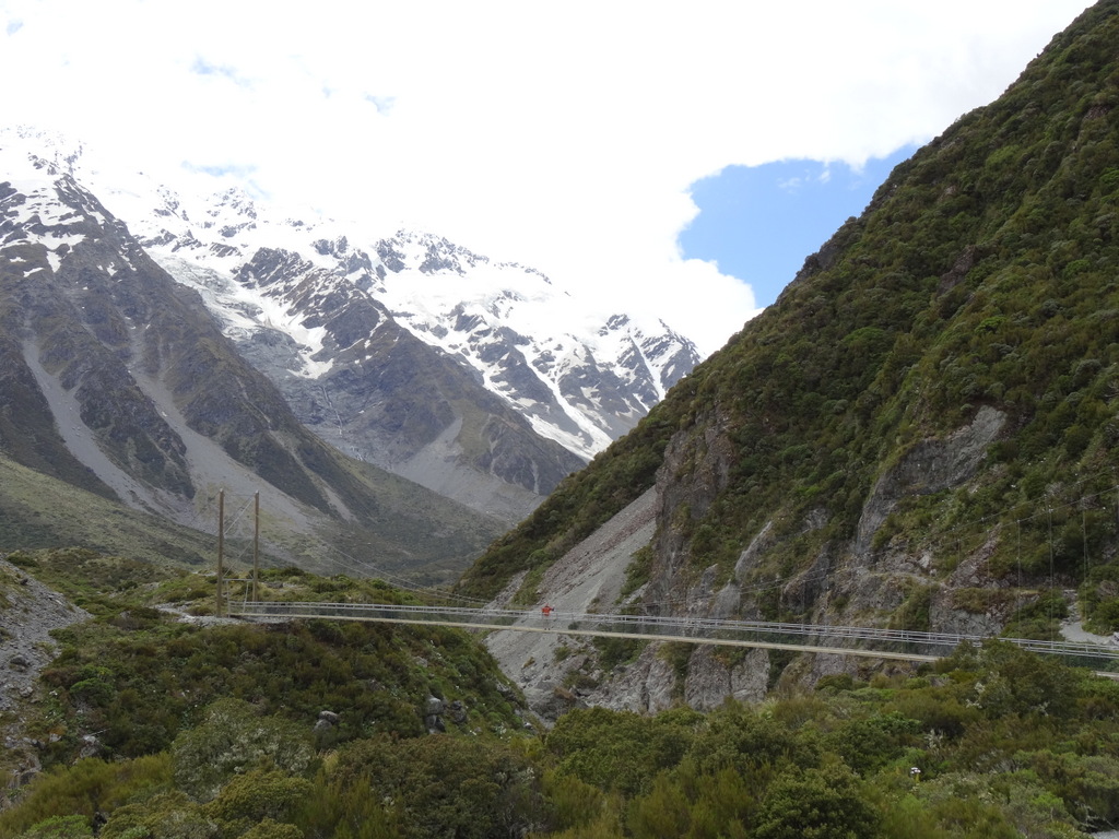
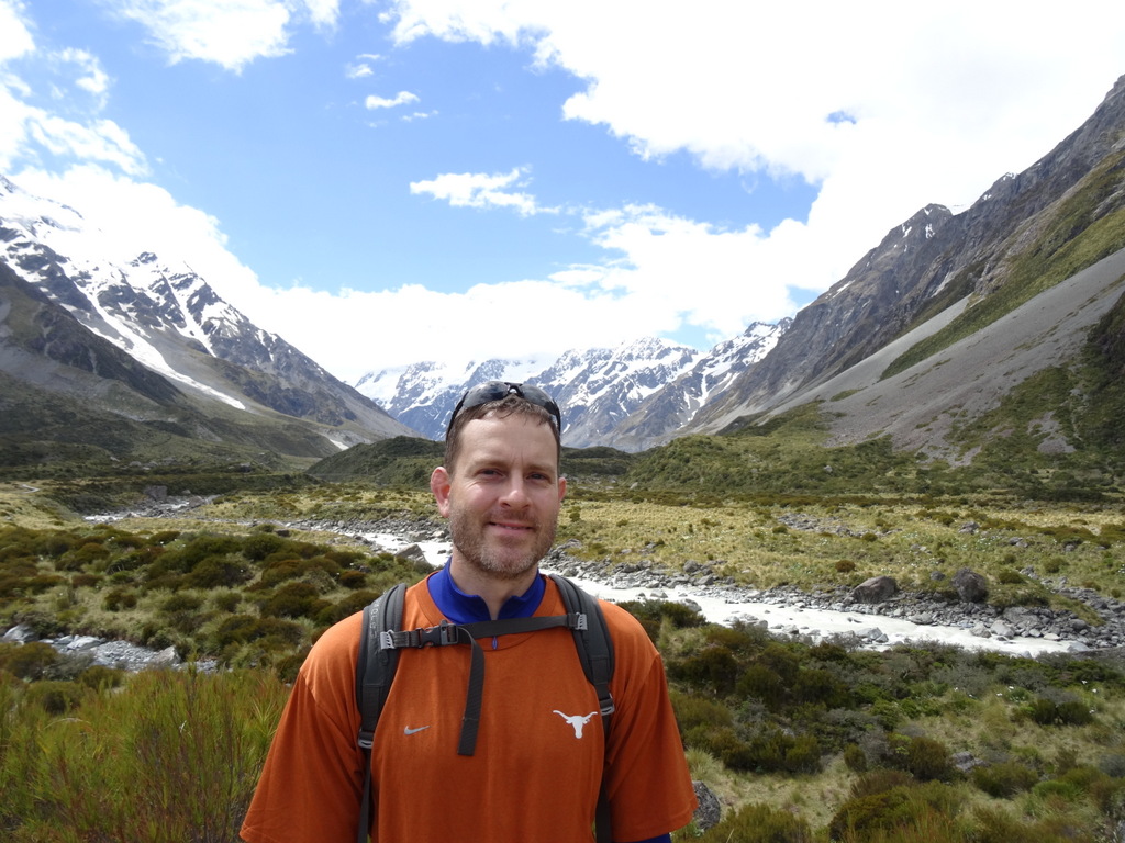
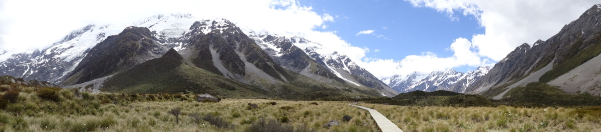
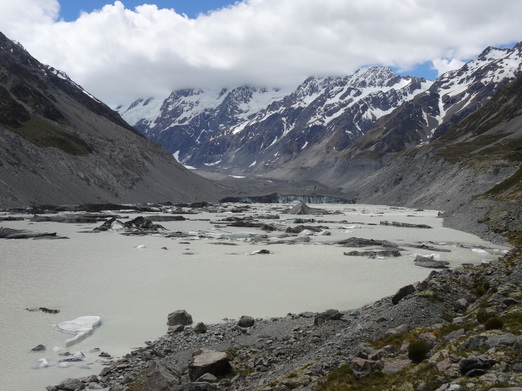
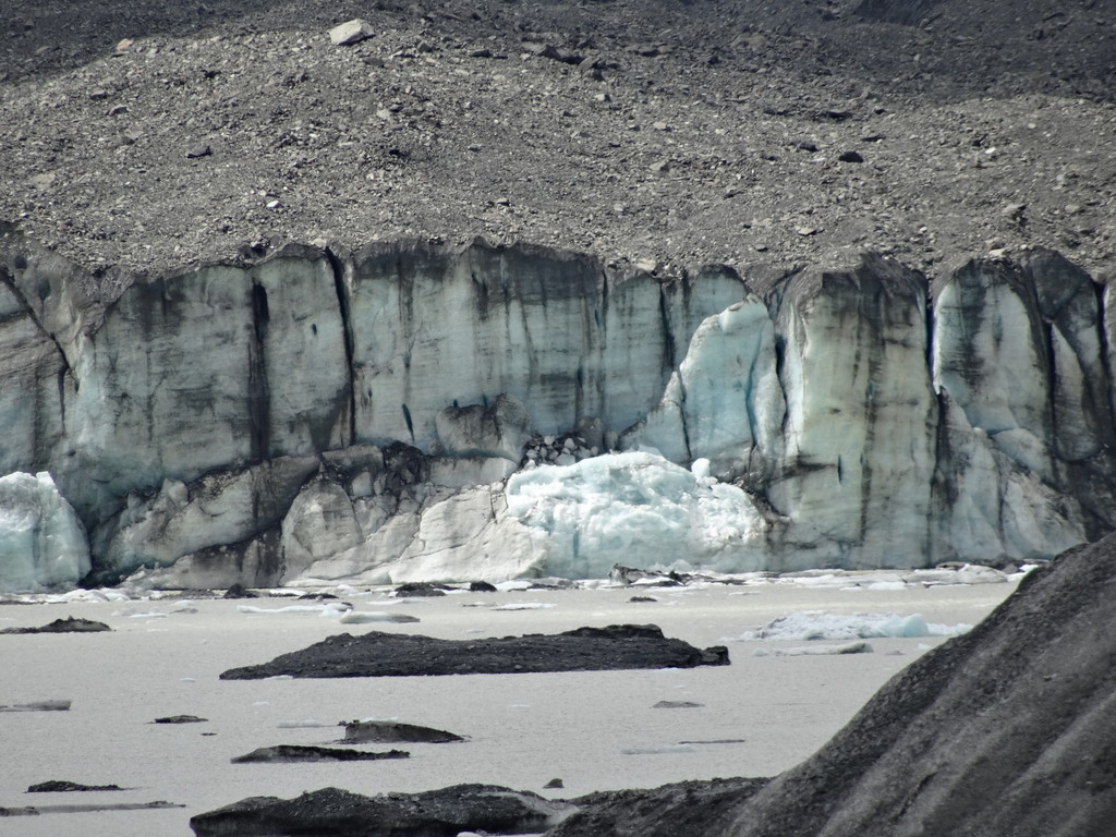
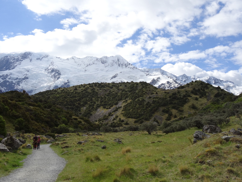
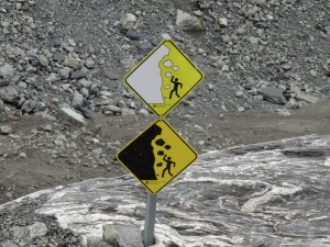
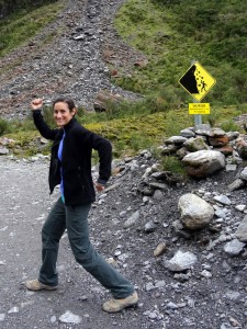
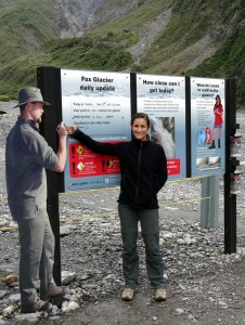
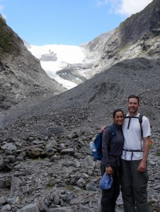
We arrived at Fox Glacier late afternoon and hiked as close as is possible without a guide. The glacial area is very prone to rockfalls, so the allowable hiking routes can change daily. There were waterfalls all around and a towering wall of ice (much covered with gravel), that is unfortunately receding yearly. It is very evident from the rock/tree dividing line that the glacier used to extend much further.
DSC05504      DSC05508
DSC05514      DSC05516
DSC05493

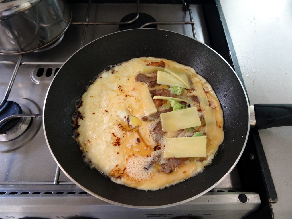
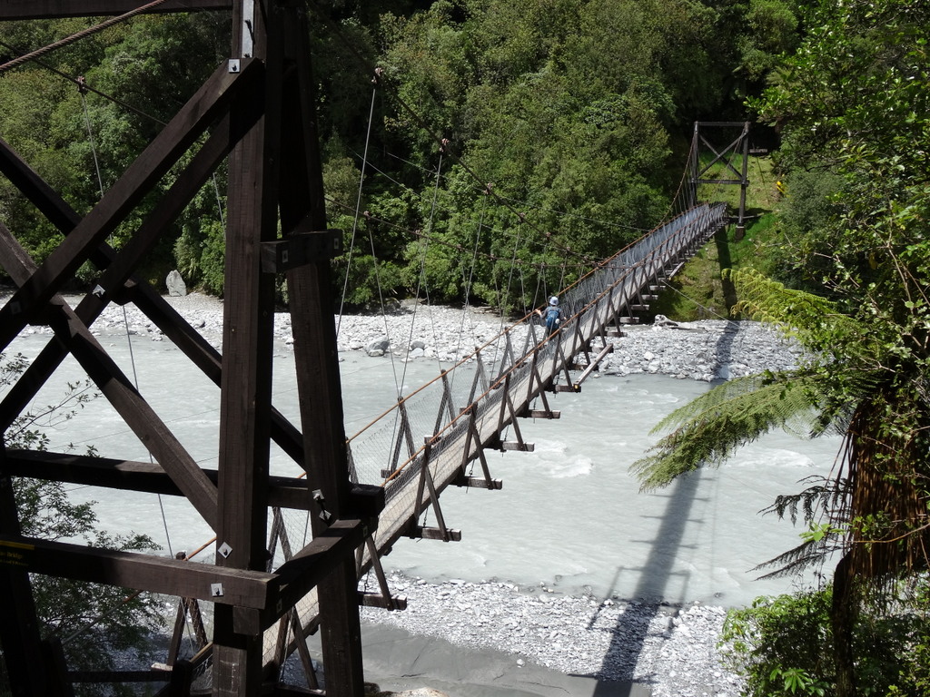
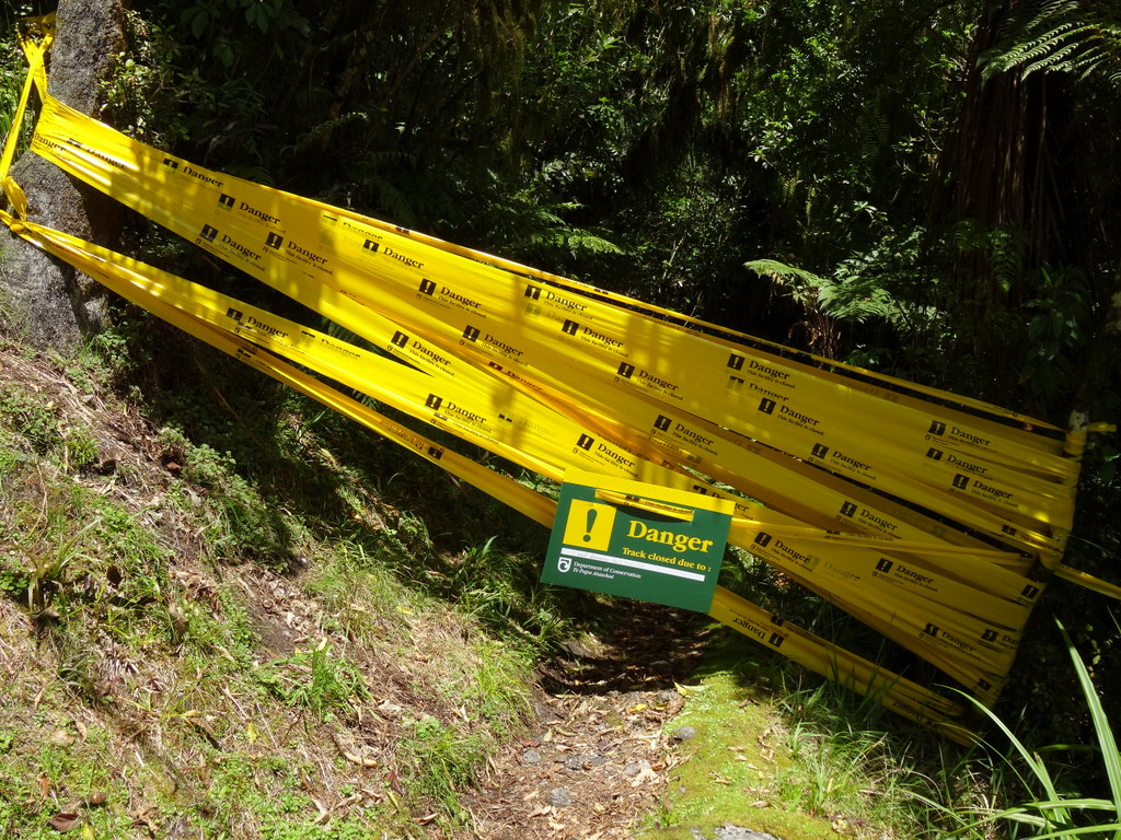
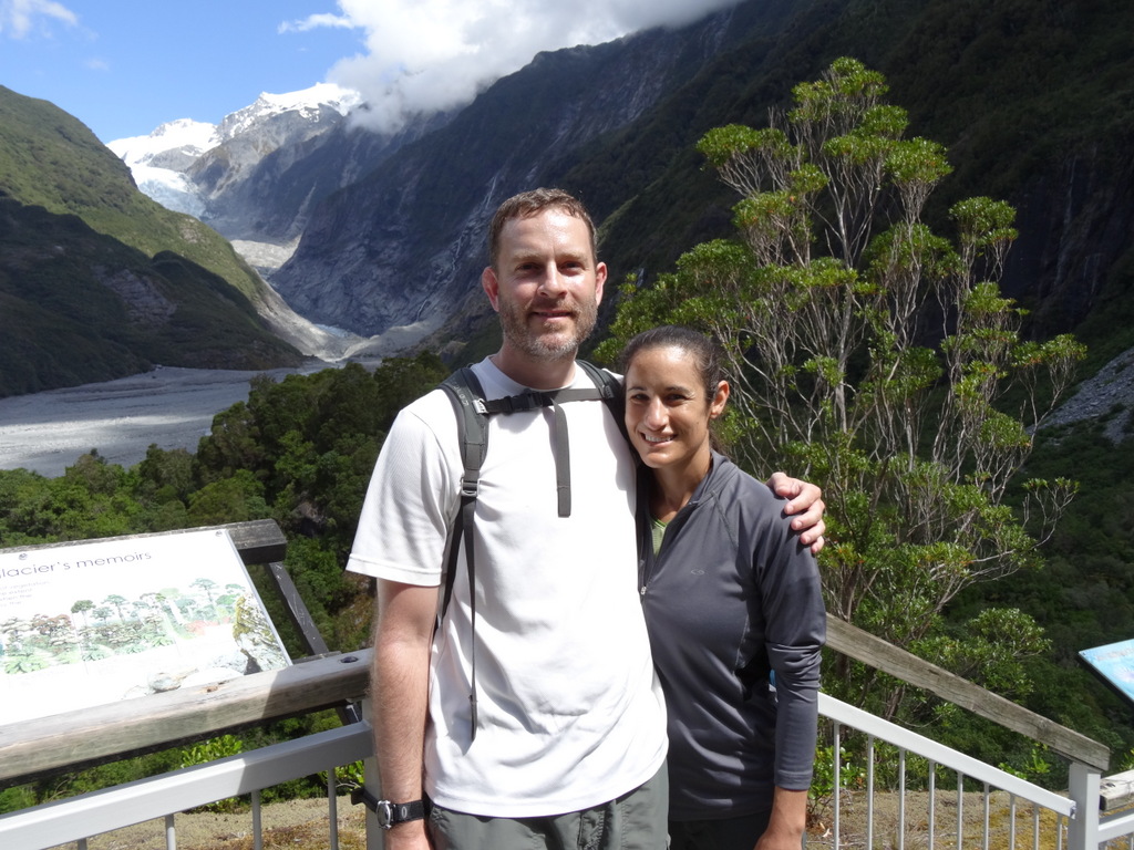
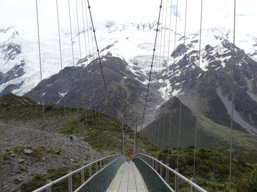
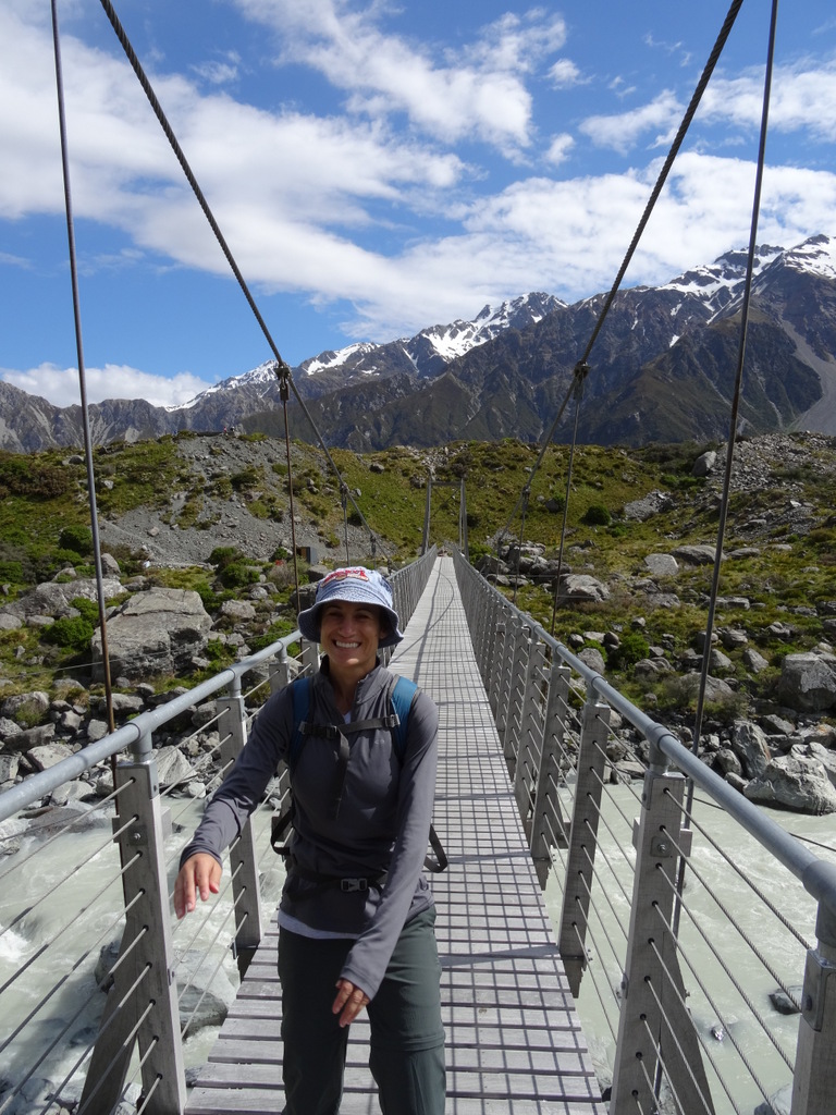
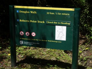
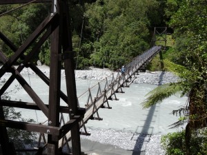
The following day was spent at Franz Josef Glacier, originally planned to include a five hour strenuous hike to a point above the glacier. We woke up, packed up, and moved the campervan to a parking lot directly across the road from the trail head. We cooked a delicious ‘breakfast of champions’ (Ryan’s terminology), including omelettes with steak, cheese, and avocado. We made hearty sandwiches and packed lunches. We were ready to embark on a strenuous hike. We walked across the road and about 10 meters down the path, and saw a sign that the trail was closed due to flood damage and rock slides. Not giving up yet, I insisted on crossing the swing bridge to take a look at the route. The masses of yellow tape blocking the way pretty much sealed the deal. Ah well, at least we were prepared :-) .
DSC05522
DSC05527      DSC05532
DSC05534      DSC05538

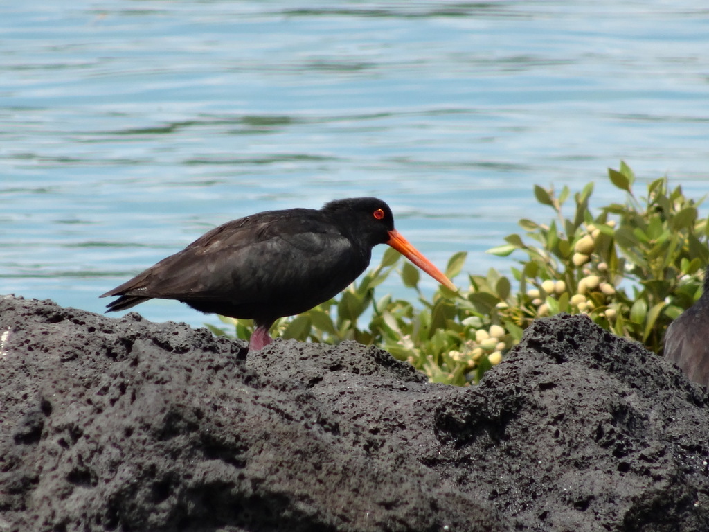
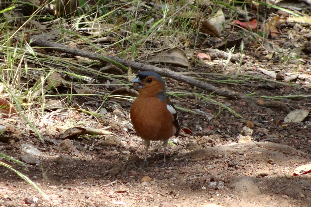
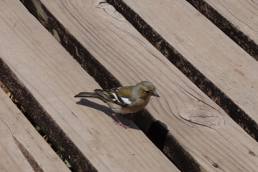
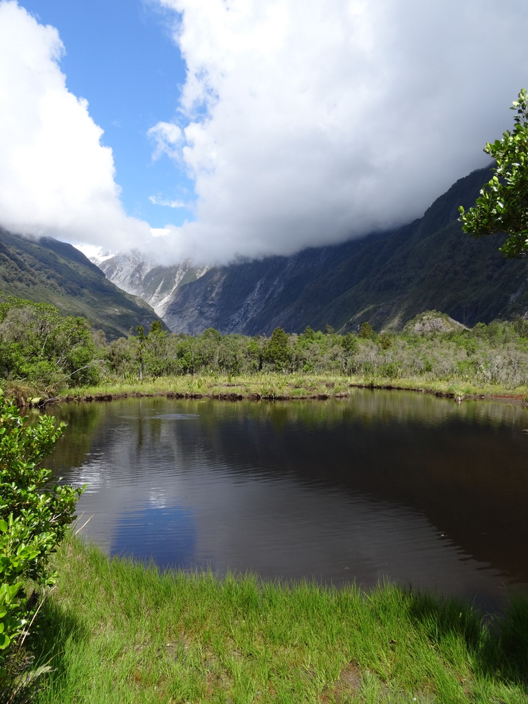
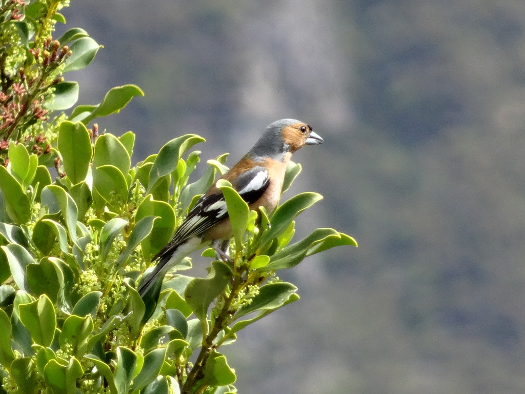
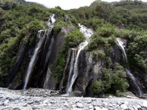
Plan B was to hop on a nearby trail, taking us through a wooded rainforest with lovely songbirds, up to the short path to the glacier. Similar to Fox, the glacier is receding, and visitors can only get so close. The only way to actually get on Franz Josef Glacier is by helicopter.
DSC05555      DSC05556
DSC05573      DSC05577
DSC05580      DSC05586

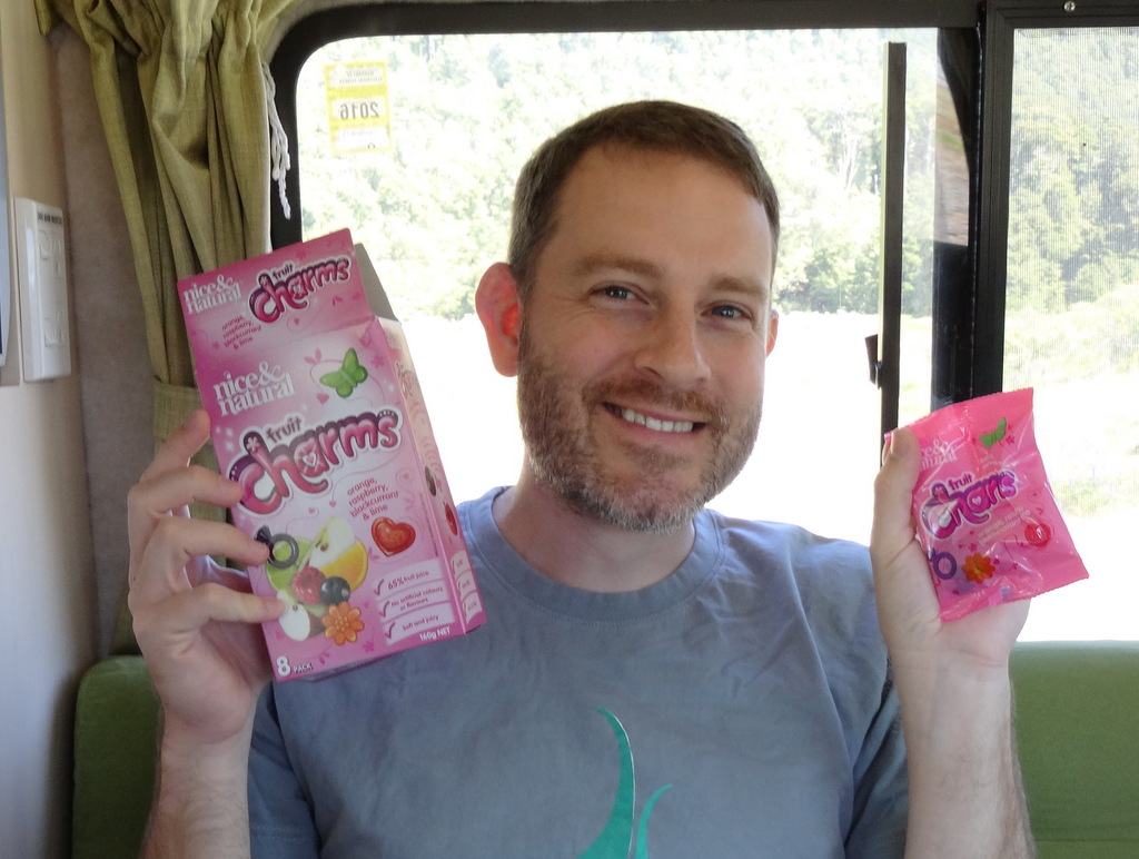
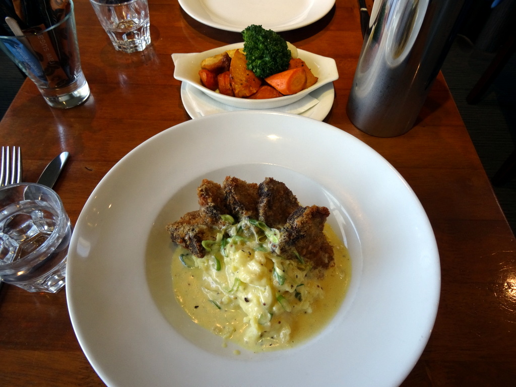
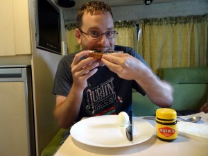
P.S Ryan decided he should try vegemite. The second picture says it all.
DSC05422      DSC05423

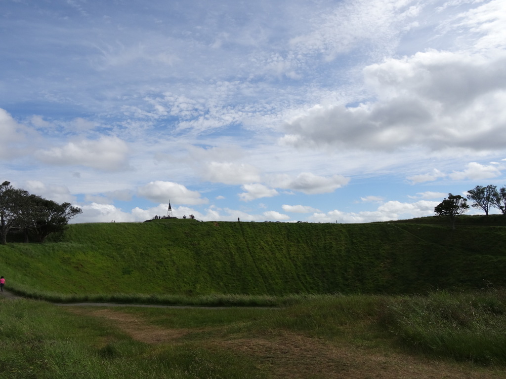
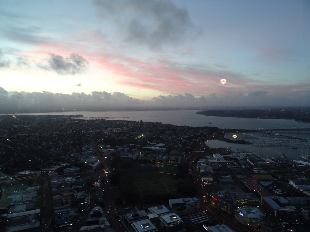
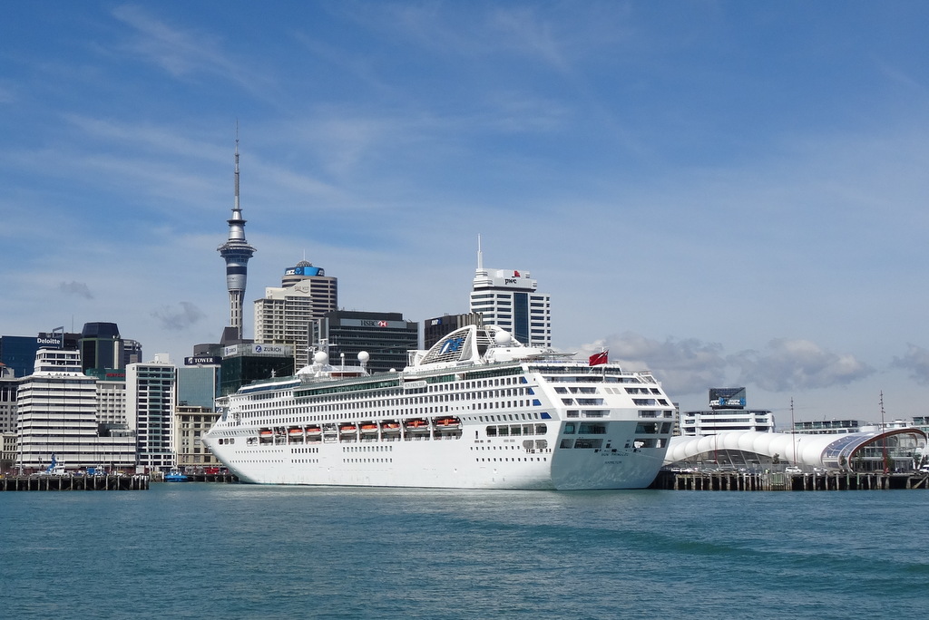
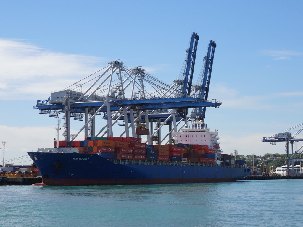
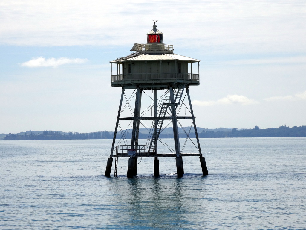
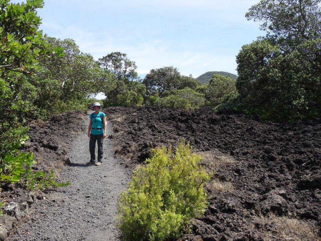
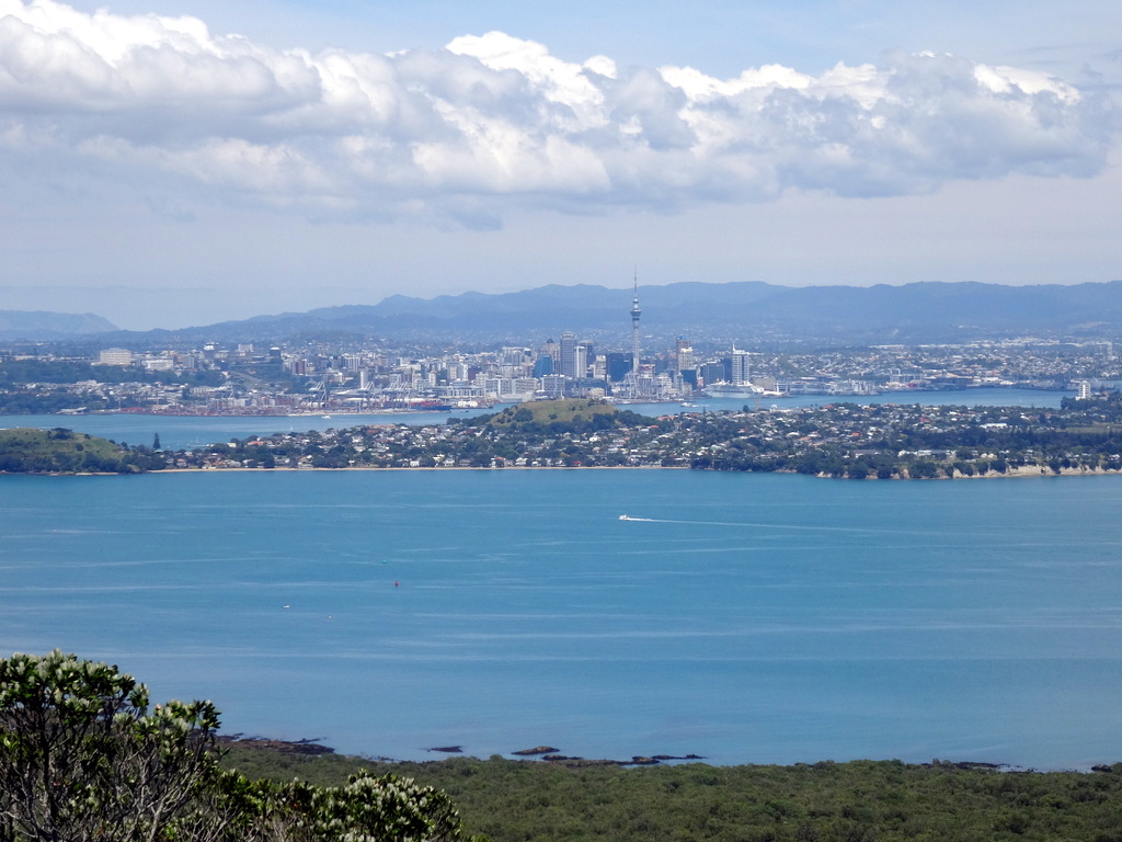
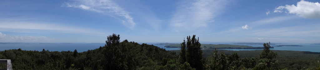
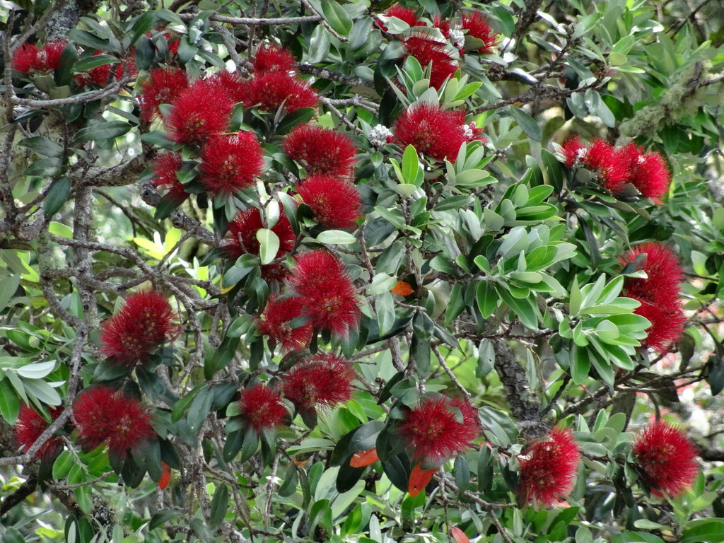
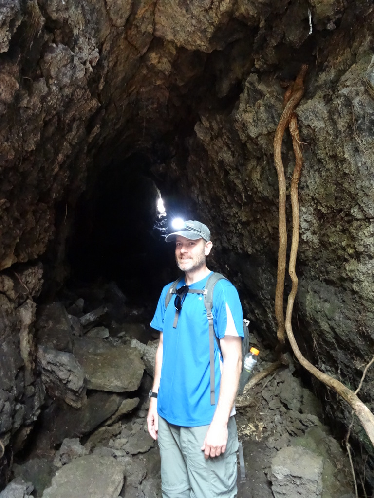
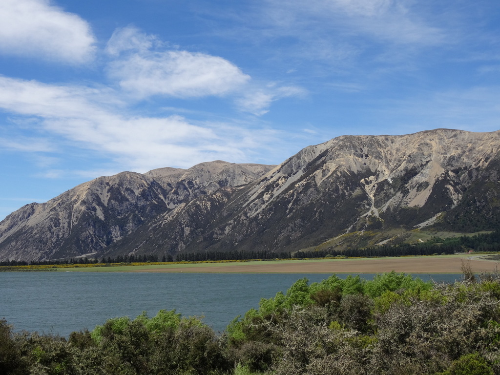
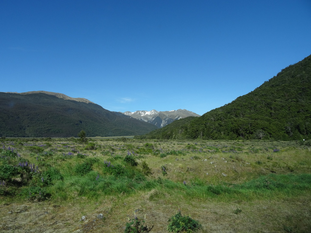
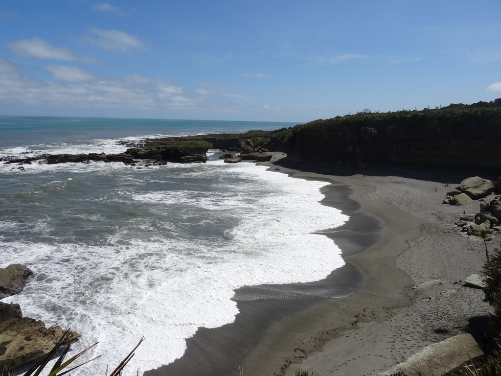
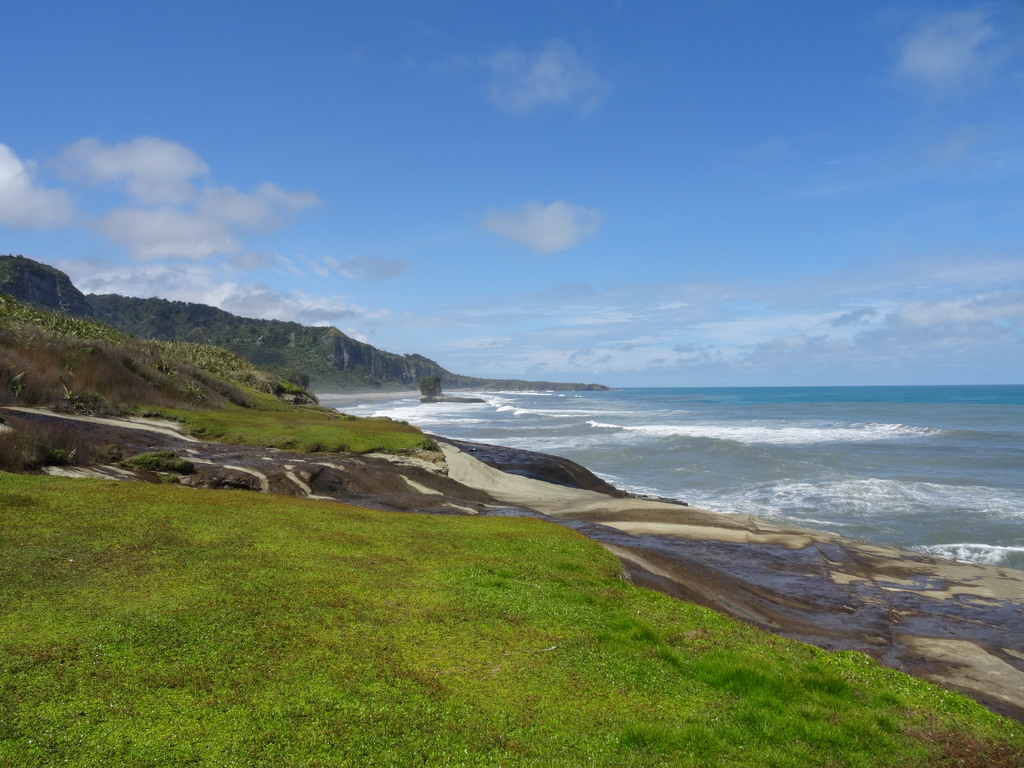
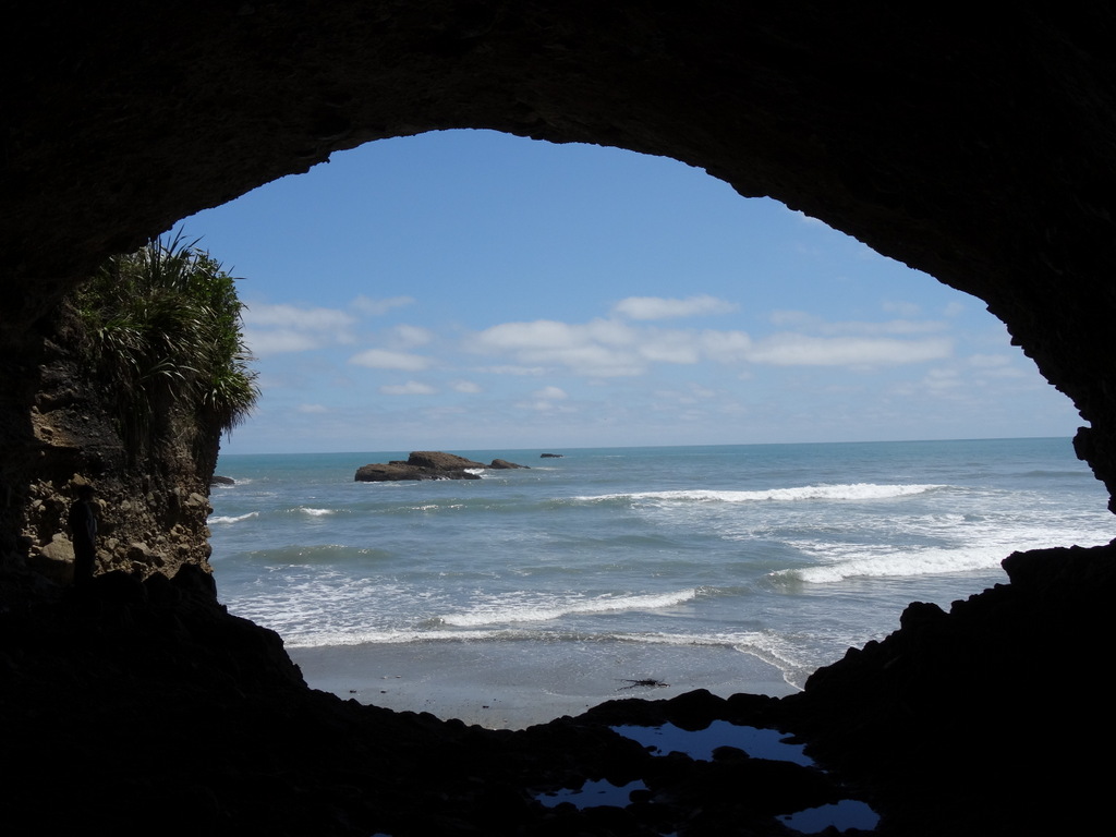
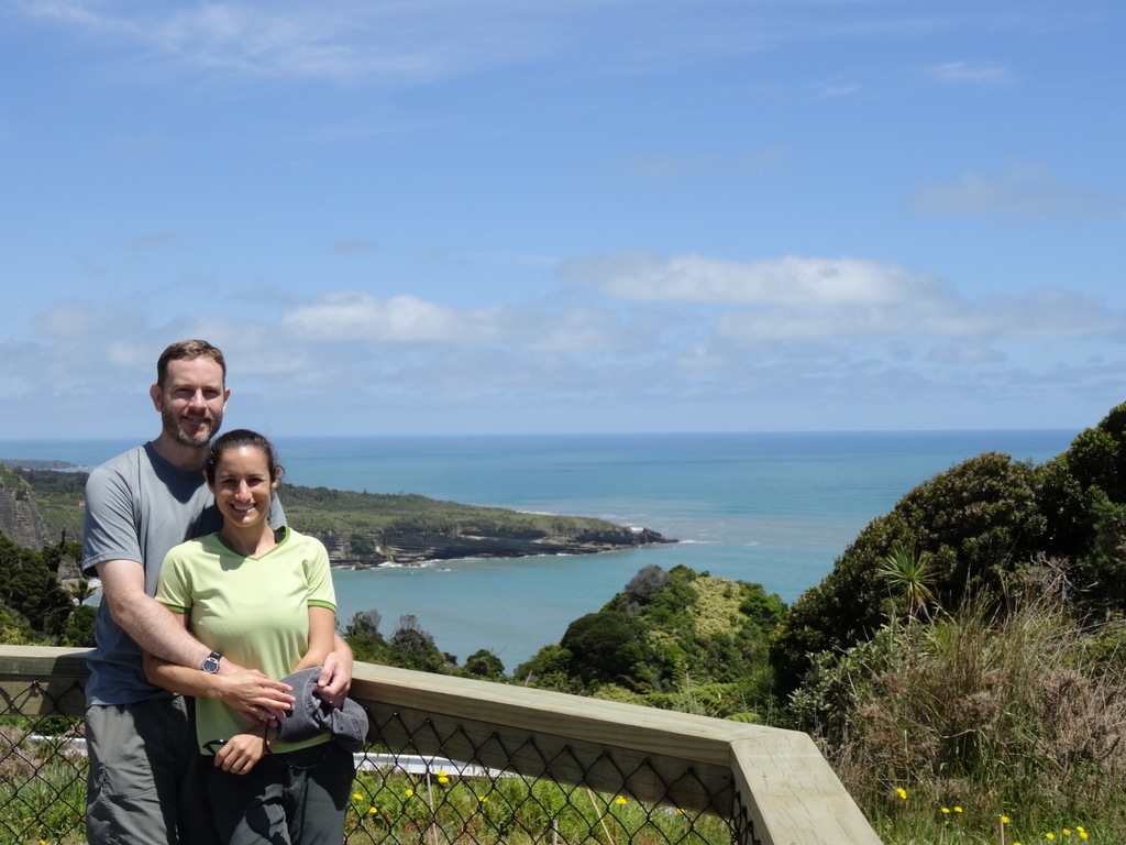
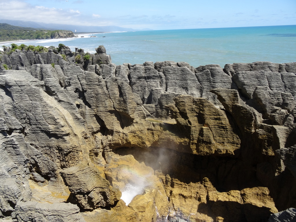
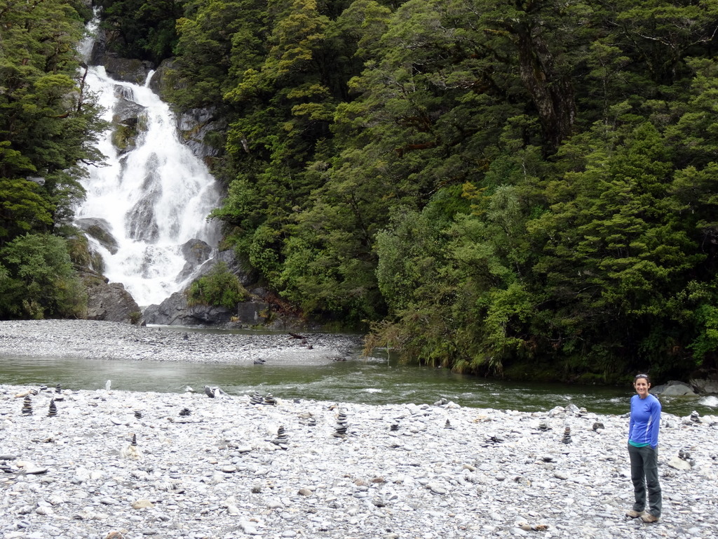
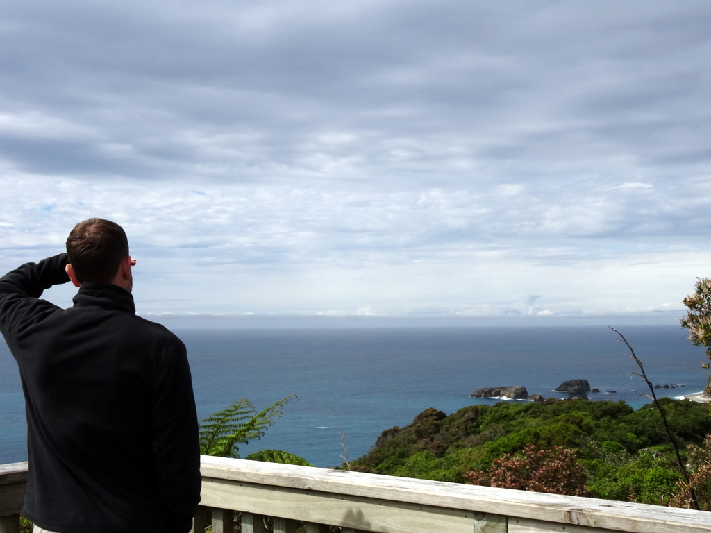
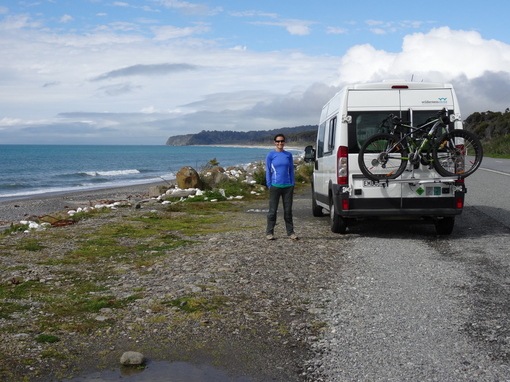
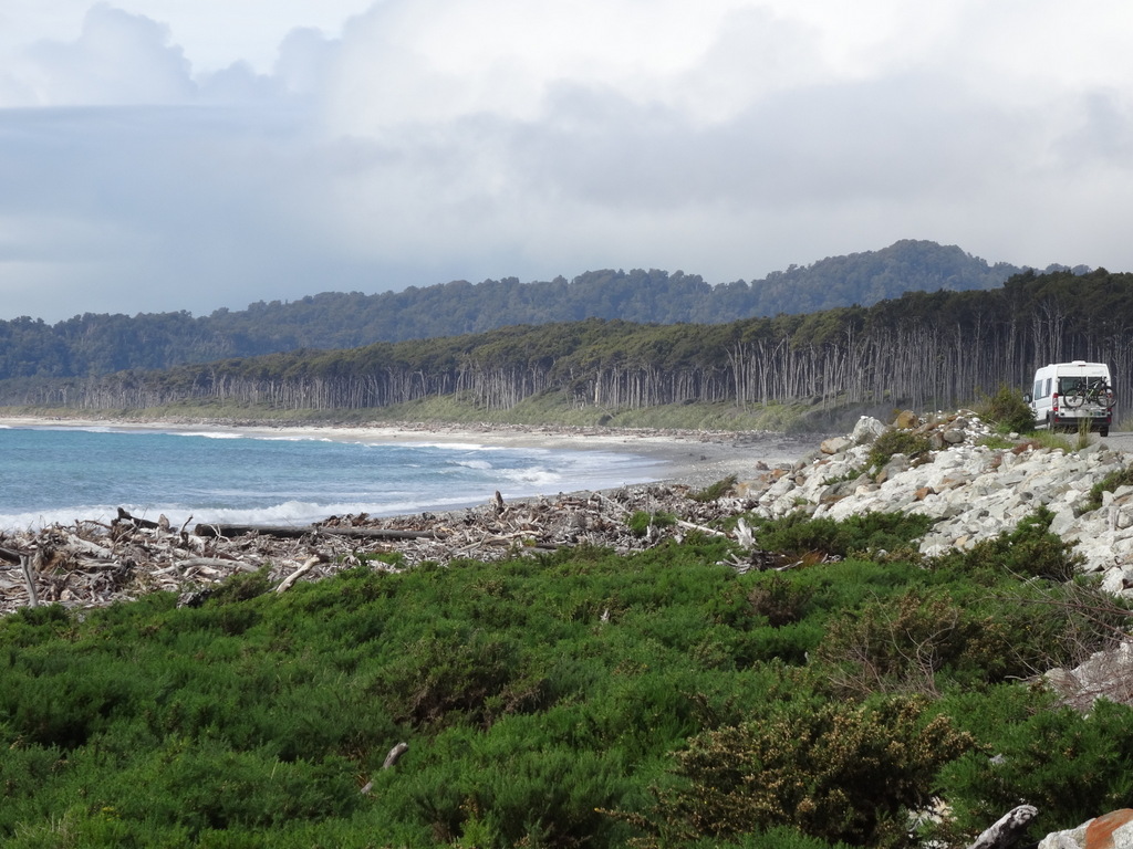
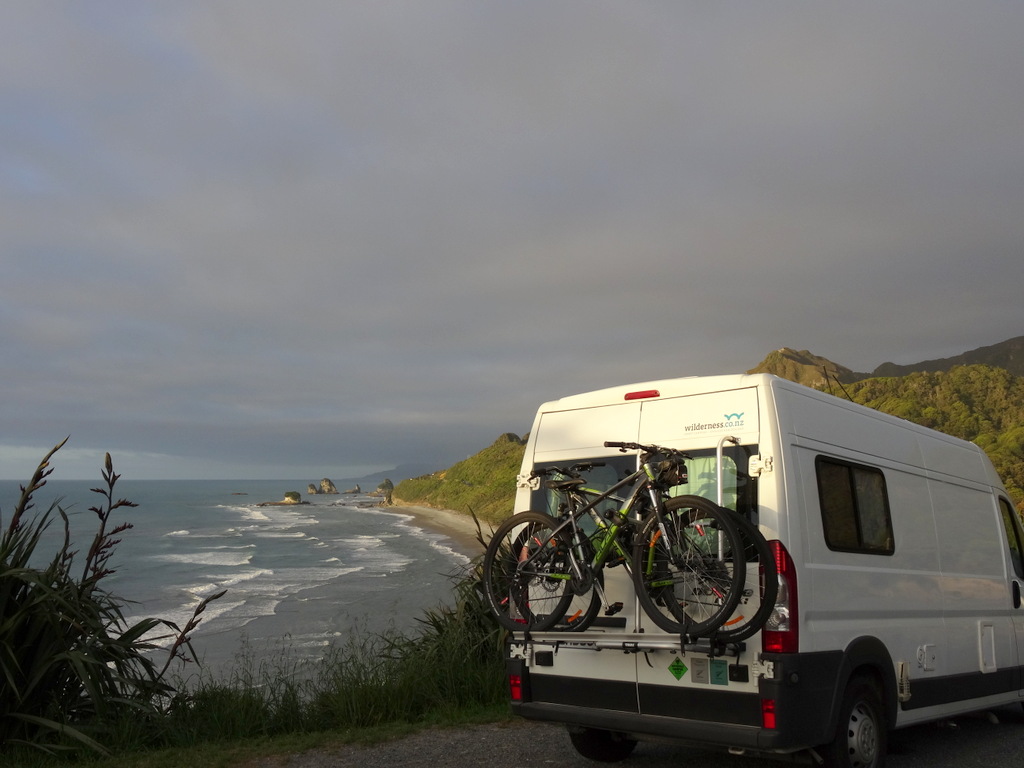
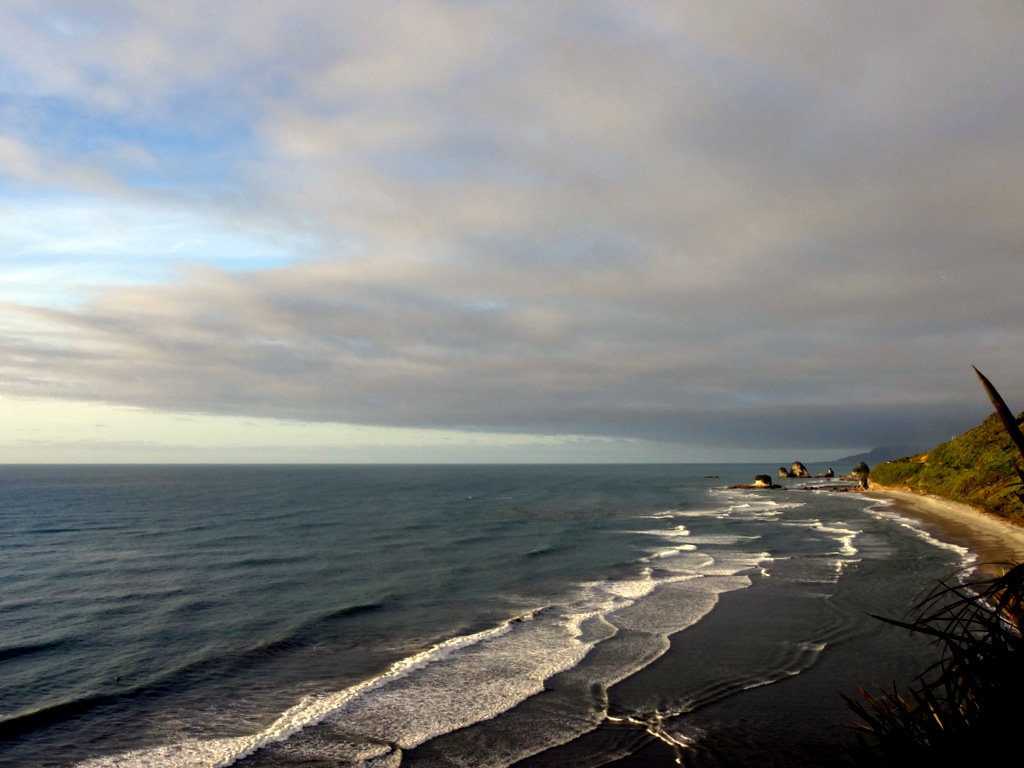
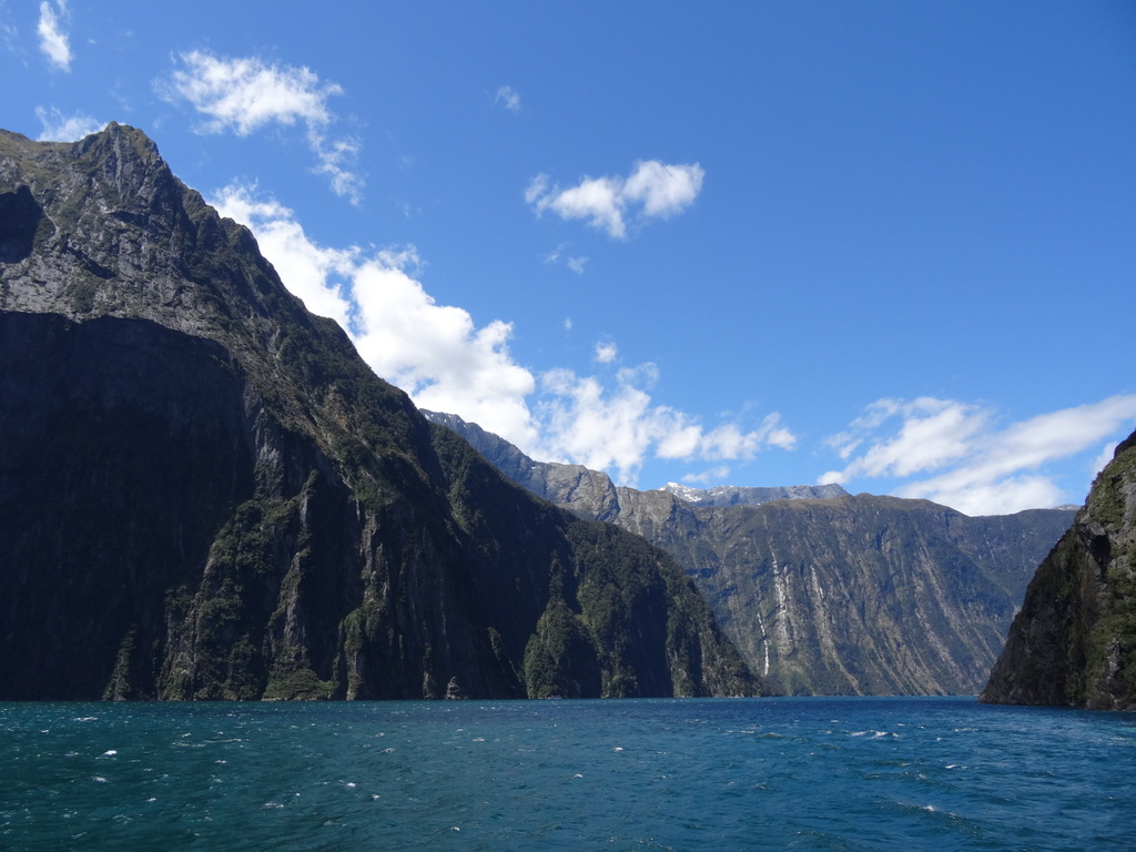
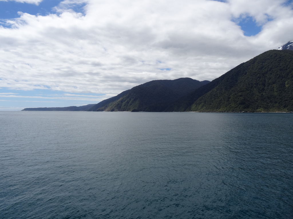
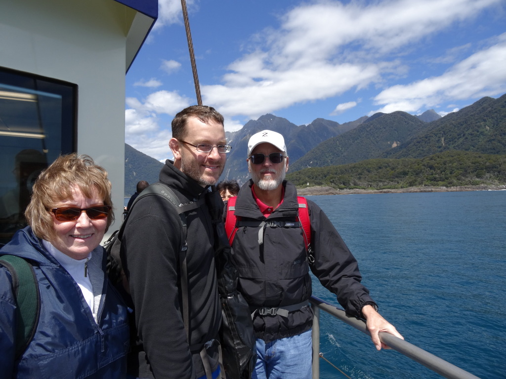
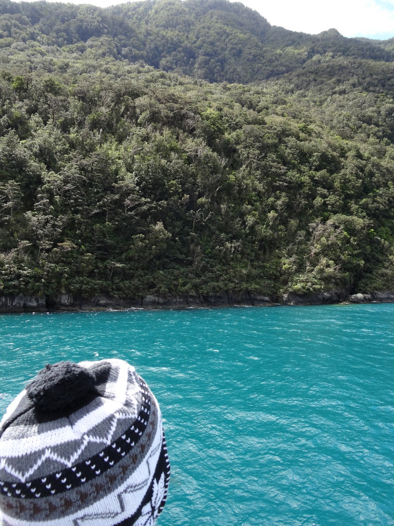
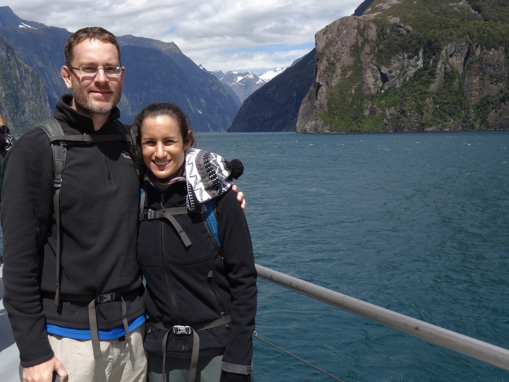
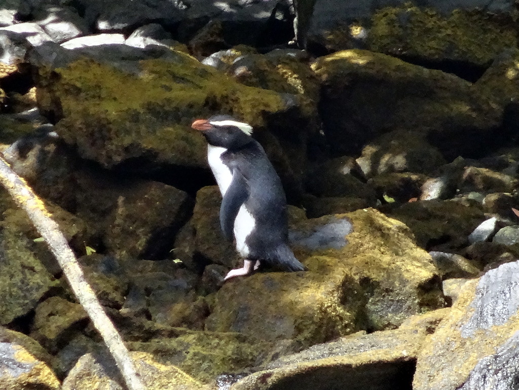
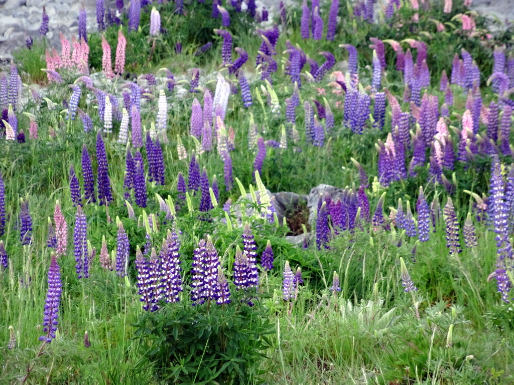
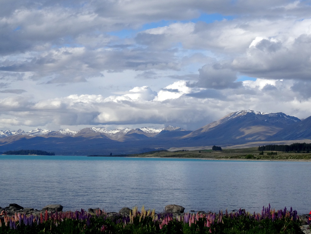
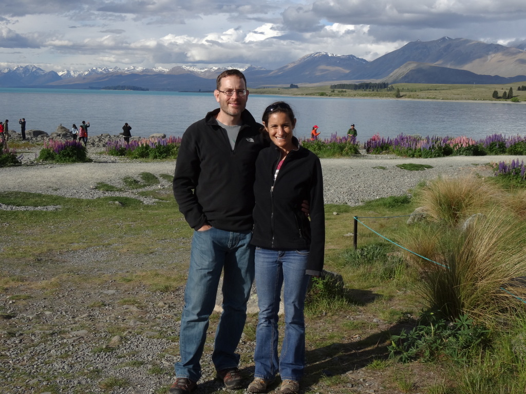
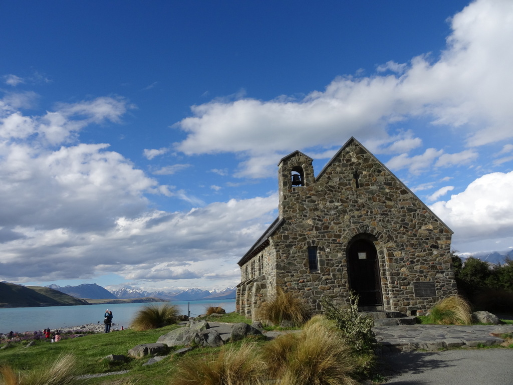
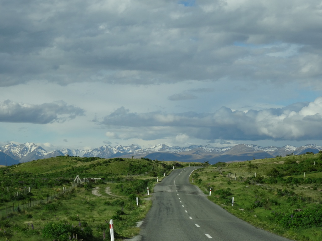
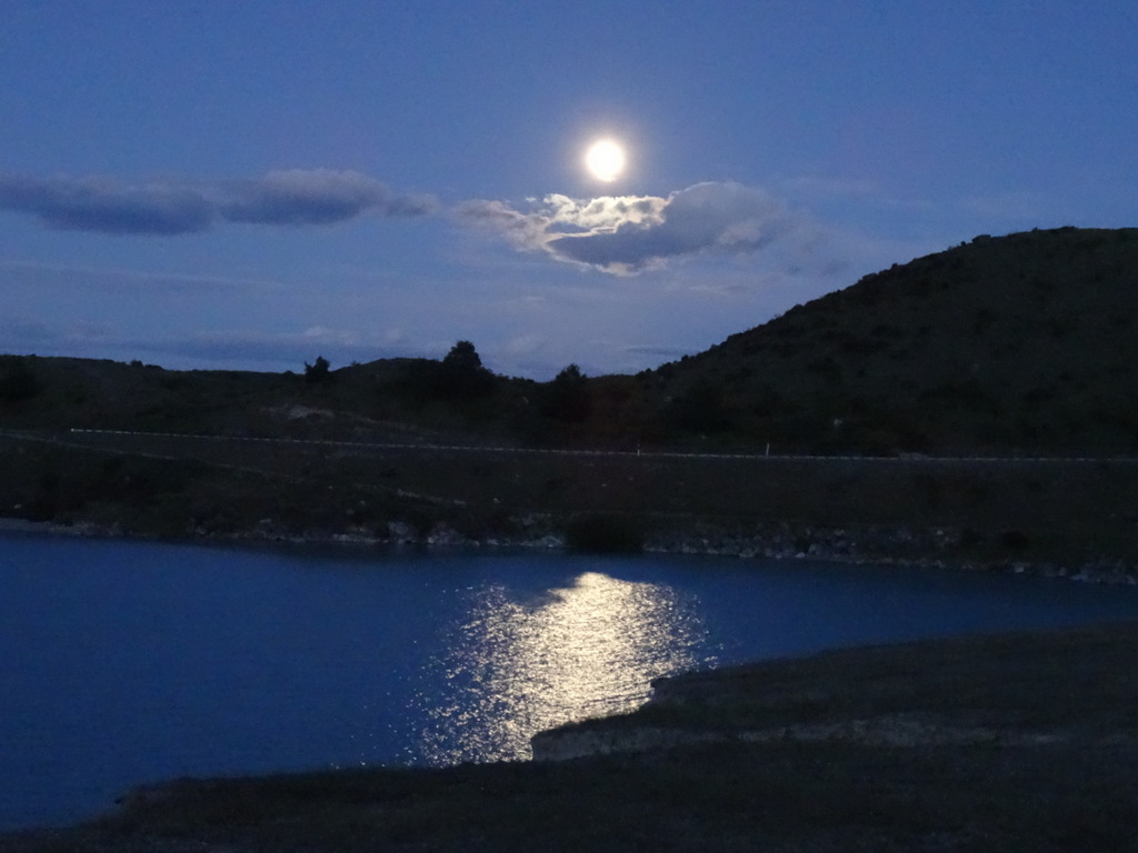
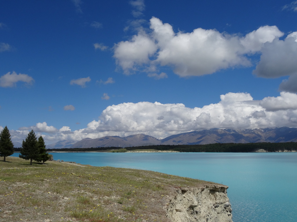
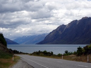
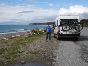
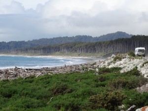
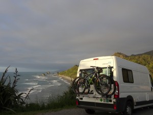
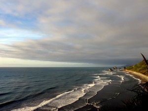
P.P.S. Additional scenic coastal pictures.
DSC05615      DSC05612

P.P.P.S. My dad mentioned on the phone tonight that we should say we are home, so . . . We are home :-) . Ryan and I got home a little over two weeks ago. Sadly, it already feels like so much time has passed since this amazing trip, but finishing up the blog is helping us re-live the last few days in New Zealand.

Queenstown to Gibbston . . . no problem

While in Argentina, I really enjoyed a bicycle wine tour our team did in Mendoza, and it seemed like Queenstown was a great time to share that experience with Ryan. It is about 36km (22 miles) from Queenstown to the Gibbston Valley Winery, and we had all afternoon. Piece of cake we thought, not really considering that we were surrounded by mountains! Up the hill, down the hill, up the hill, down the hill, repeat. In hindsight, the ride was a lot of fun. During the ride itself, Ryan would probably say I was a bit cranky :-) .

The weather was great and scenery was beautiful as we biked along Lake Wakatipu, through Frankton, out to Gibbston. We rode past the airport, along a cliff, past a ranch, by a cricket batting cage, over the famous bungy jumping bridge, through a field, and finally arrived at the winery, where Kris and Dal had driven to meet us. After that ride, we definitely deserved the wine flights and chocolate we sampled.
DSC05375      DSC05383
DSC05389      DSC05397
DSC05400      DSC05402
DSC05408      DSC05411

Ryan and I had smartly arranged ahead for return transport to Queenstown. After a quick shower and change (thanks Dal and Kris for use of the shower in your hotel room!), the four of us headed out for our last meal together before my in-laws headed back to the states. Huge plates of meat for the Netts and NZ green-lipped mussels for me; all delicious!
DSC05416      DSC05419
DSC05418

Sprung a leak!

While the campervan was mostly awesome, it wasn’t all fun and games. Our gray water tank sprung a leak, and the space heater only worked sometimes. We brought the van in for repairs one morning. About an hour later, the car repair person told us all was good, no worries. Unfortunately, neither problem was actually fixed!

The campervan rental company assured us we wouldn’t get in trouble for the gray water leak, so we just tried not to use a whole lot of water. And I wore extra clothes to bed. Problems solved!

Cruising Milford Sound

As we learned on the cruise, Milford Sound is not a sound at all, but actually a fjord. According to Wikipedia, a fjord is a ‘long, narrow inlet with steep sides or cliffs, created by glacial erosion’, while a sound is a ‘large sea or ocean inlet larger than a bay, deeper than a bight, and wider than a fjord’. Ha ha, clear as mud? The gist is that a fjord is created by a glacier, while a sound is not.

Lake in Queenstown at our early morning departure point

By the lake in Queenstown at our early morning departure point

Pitstop at Mirror Lakes on the drive to Milford Sound

Pitstop at Mirror Lakes on the drive to Milford Sound

Another pit stop to try the best drinking water, straight from the stream

Another pit stop to try nature’s best drinking water, straight from the stream

Stocked up with water bottles full of fresh stream water

Stocked up with water bottles full of fresh stream water

Our vessel for the day, shown below, took us through the Milford Sound out to the Tasman sea, before returning us back safely to shore. The snow-capped mountains surrounding the fjord on three sides provided a wonderful backdrop throughout the cruise.
DSC05263      DSC05269
DSC05291      DSC05302
DSC05311      DSC05316
DSC05317      DSC05318

Everywhere we looked from the boat, there were beautiful waterfalls due to the rain. However, there are only two permanent waterfalls in Milford Sound, Lady Bowen Falls and Stirling Falls. We got up close and personal with Stirling Falls.

Lady Bowen Falls

Lady Bowen Falls

Stirling Falls from afar

Stirling Falls from afar

Stirling Falls up close.  The captain actually drove the front of the boat almost into the falls

Stirling Falls up close. The captain actually drove the front of the boat almost into the falls

Besides the amazing scenery, we also spotted some fun wildlife during the day.

Fjordland crested penguins, among the rarest penguins in the world, make their nests in Milford Sound.
DSC05336      DSC05280

Fur seals enjoying the sunny weather.
DSC05272      DSC05307
DSC05308      DSC05324

Keas are very large parrots found in NZ. They are omnivores, and freakily enough, used to target live sheep and eat their kidney fat. Yuck! Luckily, attacking the sheep was a learned trait. A program was put in place to capture all the sheep-attacking keas, and the problem was resolved.
DSC05361

(This blog post approved by Ryan)

NZ pictures are worth >> 1000 words…

Our New Zealand itinerary consisted of 7 days touring the South Island in a campervan, followed by 3 days in Auckland. Ryan had been looking forward to this portion of our trip since viewing John and Shelley’s pictures last January. The scenery of the South Island is absolutely stunning, so I’ll let the pictures of the first few days speak for themselves.

IMG_1901      DSC05001

Field covered flowers (what type?) leaving Christchurch

Field of flowers leaving Christchurch

Driving to Lake Tecapo

River with kowhai flowers and rolling green pastures on the way to Lake Tekapo

Driving to Lake Tecapo

Our approach to the Southern Alps and Lake Tekapo

Lake Tecapo

Lake Tekapo

Beautiful flowers (Lupins?) near Lake Tecapo

Beautiful lupins near Lake Tekapo

Lake Tecapo

Lake Tekapo

At Lake Tecapo

South shore of Lake Tekapo

Good Shephard Church (??) at Lake Tecapo

Church of the Good Shephard at Lake Tekapo

Driving somewhere

Driving up to Mt. John University Observatory

Lake Tecapo from Mt. John Observatory

Lake Tekapo from Mt. John University Observatory

Nicole and Lake Tecapo from St. John Observatory

Nicole and Lake Tekapo from Mt. John University Observatory

Ryan and Lake Tecapo from Mt. John Observatory

Ryan and Lake Tekapo from Mt. John University Observatory

Before

Before…

...and after

…and after

Sun setting at Lake Tecapo after dinner

Sun setting at Lake Tekapo after dinner

View of Lake Pukaki before going to bed

Lake Pukaki before bedtime (our campervan was parked cliffside in the middle of nowhere)

This is the view of Lake Pukaki we woke up to

View of Lake Pukaki we woke up to (impossibly blue water)

Where's Ryan?  On the swing bridge in Hooker Valley

Where’s Ryan? On the swing bridge in Hooker Valley

Swing bridge on the Hooker Valley Track

Swing bridge on the Hooker Valley Track

Ryan in Hooker Valley

Ryan in Hooker Valley

Hooker Valley Track

Hooker Valley Track

Hooker glacier and glacier pieces floating in the lake

Hooker glacier terminus, lake, and glacial icebergs

Hooker glacier up close

Hooker glacier terminus up close

Nicole on a swing bridge at Hooker Valley

What’s up with my arms?  On a swing bridge at Hooker Valley

Chaffinch at Hooker Valley

Chaffinch at Hooker Valley

Leaving Hooker Valley on the drive to Queenstown

Looking back on our Hooker Valley hike

Driving to Queenstown

Driving to Queenstown

Written in collaboration with Ryan. He’s responsible for anything funny or entertaining in the post, as usual.

Saving New Zealand from the rest of the world

We heard on the news this morning that Katy Perry’s latest album triggered a biosecurity alert from officials in Australia, because the album contained flower seeds that were not native to the country. Timely setup for this post. Australia and New Zealand are very sensitive to invasive species, including seeds and insects.

Ryan and I, being the honest people that we are, declared all the odd places visited in the last 30 days (elephant sanctuary) and crazy stuff we were carrying (dried fruit, nuts, lots of wood souvenirs) and were subsequently pulled over and inspected by customs upon entering New Zealand. The nice official took everything out of the bag I had so neatly packed and decided that two untreated wood souvenirs from Cambodia required fumigating. After about 30 minutes, around 1am, we were finally allowed to collect all our belongings and catch a cab to our hotel for the night.